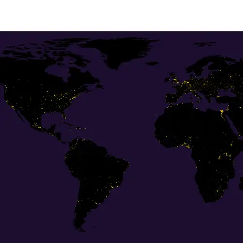
Half of the Earth’s Population Squeezes Onto Just One Percent of Its Land
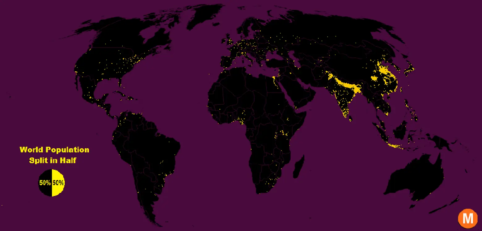
Click here for a full size version >>
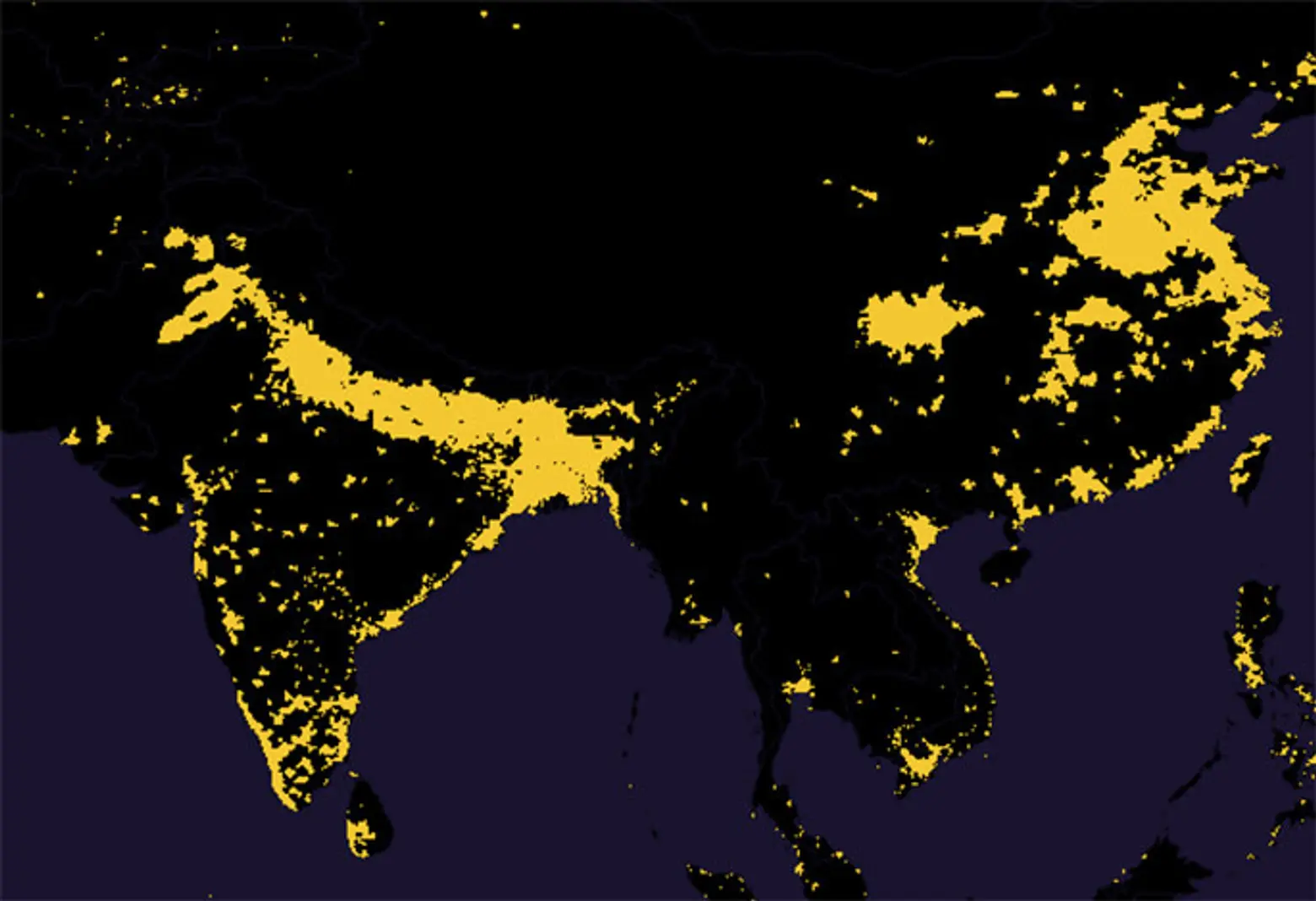
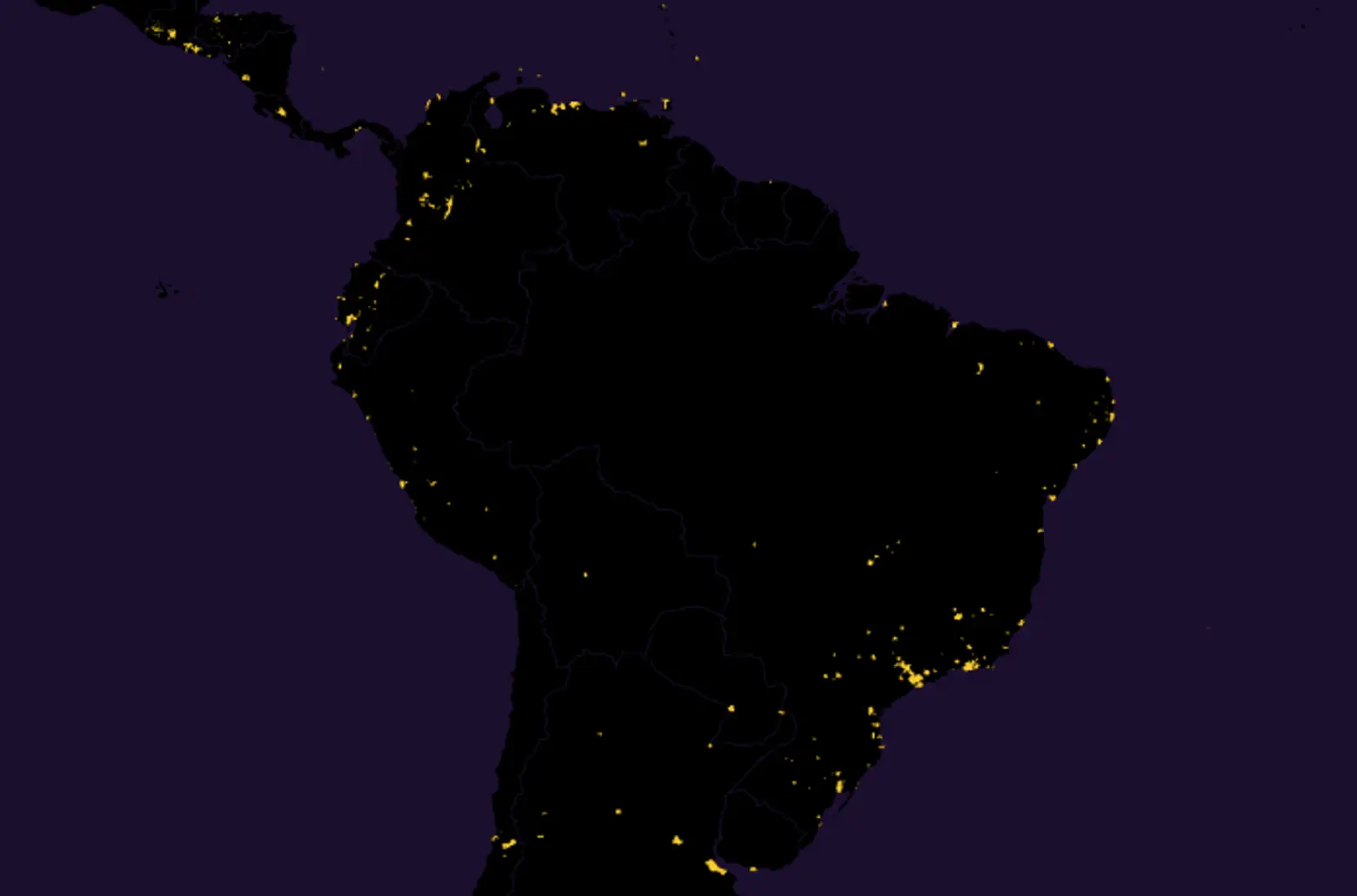
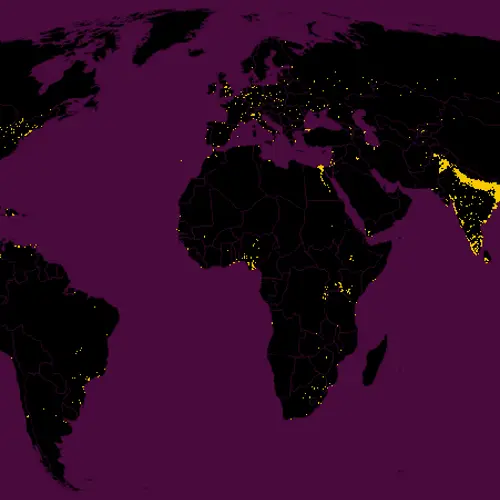
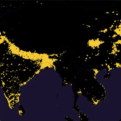
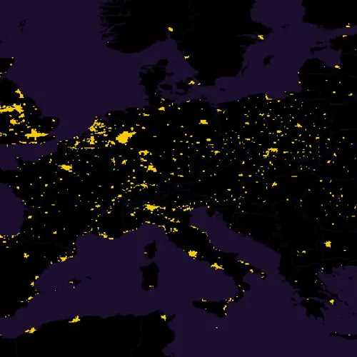
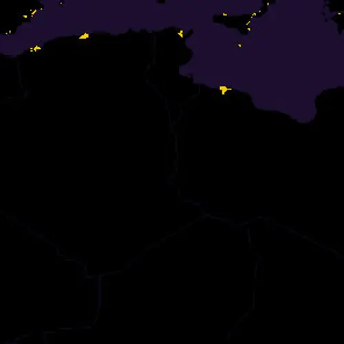
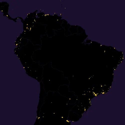
It’s widely known that most of the world’s population is concentrated in and around cities, but this cool map created by Max Galka (h/t CityLab) shows us exactly what that spatial disparity looks like. Using NASA’s gridded population data, which zooms in on the number of people inhabiting every nine-square-mile patch of the Earth, Galka colored all the areas boasting more than 8,000 inhabitants with yellow cells, while those with less than that number were marked black. What’s visualized with 28 million cells mapped is that half of the world’s inhabitants (about 7.4 billion people to date) occupy just one percent of the Earth’s land. The rest of the population is sparsely dispersed over the other 99 percent.
Each yellow cell represents a population density of “at least” 900 people per square mile or “roughly the same population density as the state of Massachusetts,” according to Galka. It’s not surprising to see a heavy distribution of dots across inland Asia, particularly as India and China are the two most populous countries in the world containing 46 percent of its inhabitants.
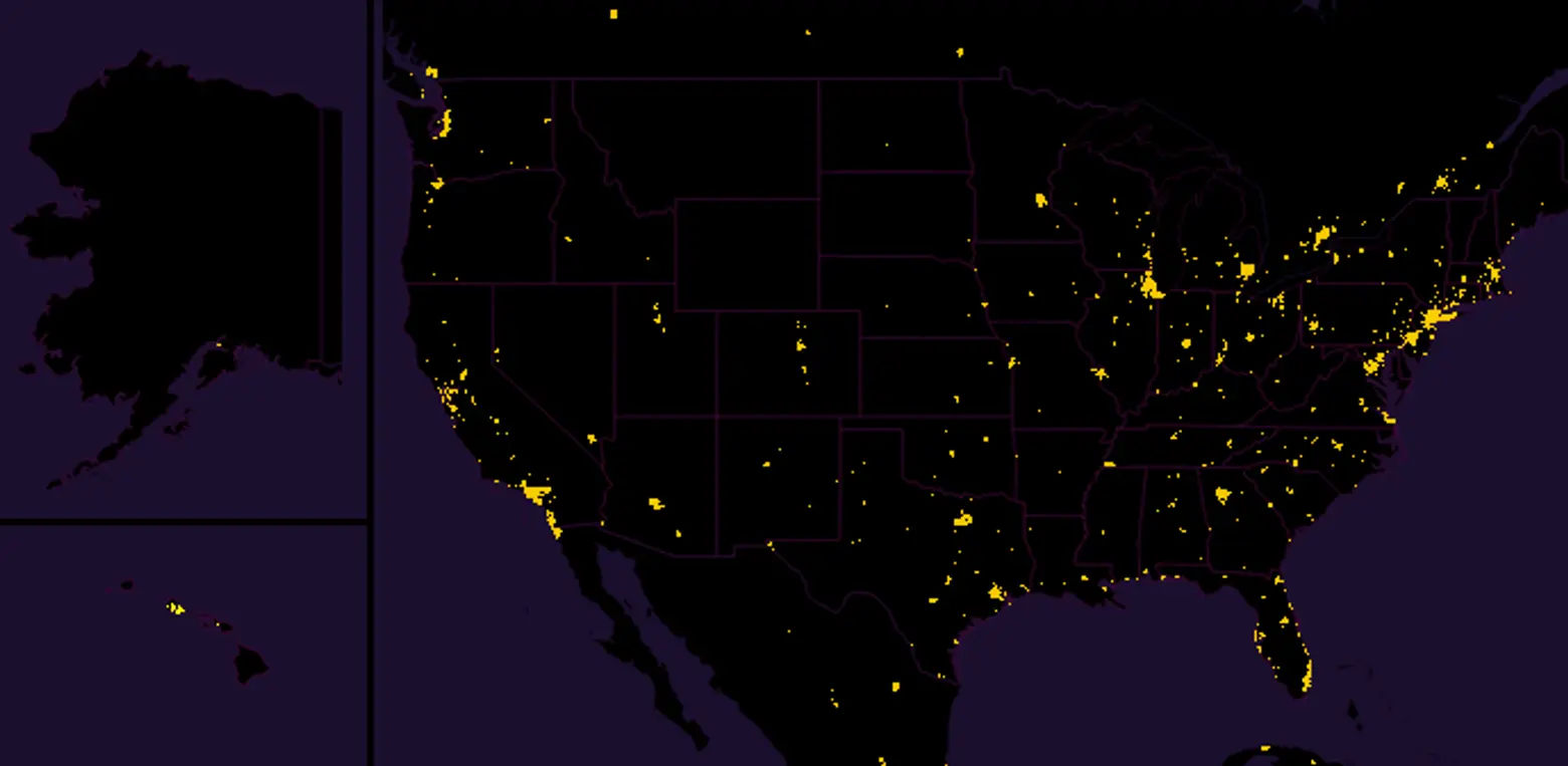
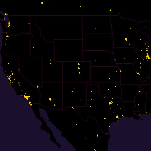
By comparison, the U.S. population far sparser and primarily distributed around northeastern, western and southern states. According to Galka, “As with the world population, roughly half the U.S. population lives in the yellow, and half lives in the black.”
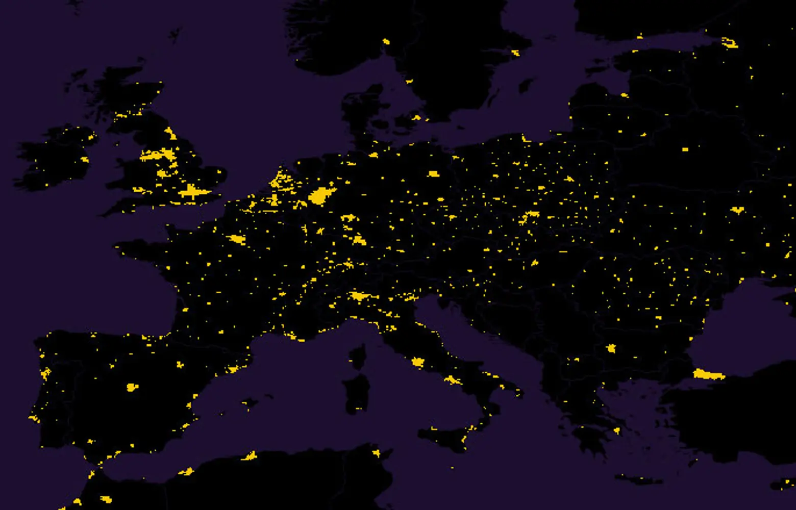
In Europe, distribution is more or less even across the continent.
Africa, however, appears to have an abundance of space, which should bode well for the continent (resources aside) given that by the end of the century, it’s expected to become home to 39 percent of the world’s population—almost as much as Asia.
You can getting a full res view of the map here >>
RELATED:
