A Google Maps Comparison of How Much Williamsburg Has Changed Since 2007
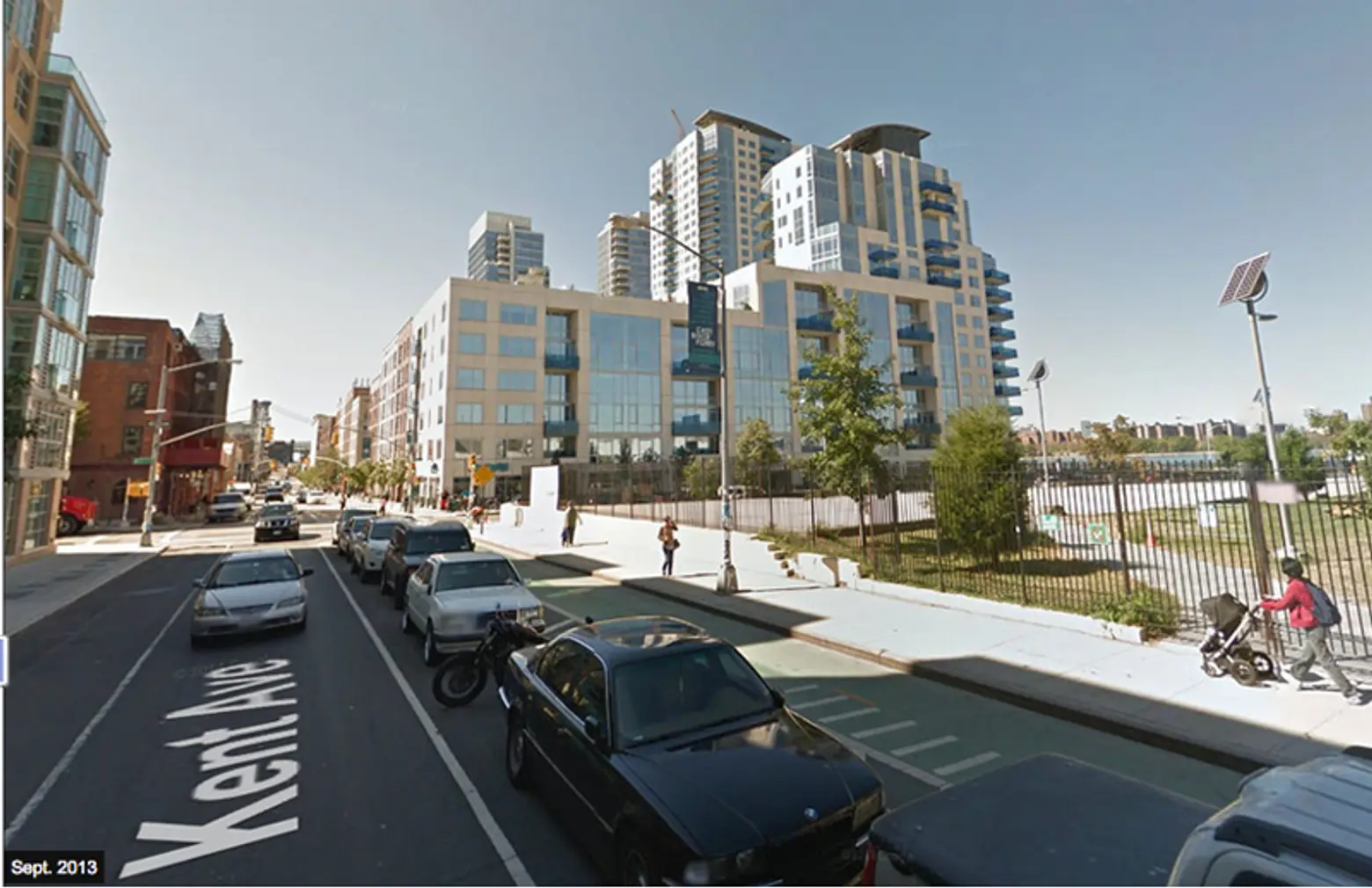
My, the difference a few years makes. Never was that more apparent than with Google Maps Street View’s new function that allows you to take a peek back in time and see how much your neighborhood has gentrifi–err–transformed since 2007.
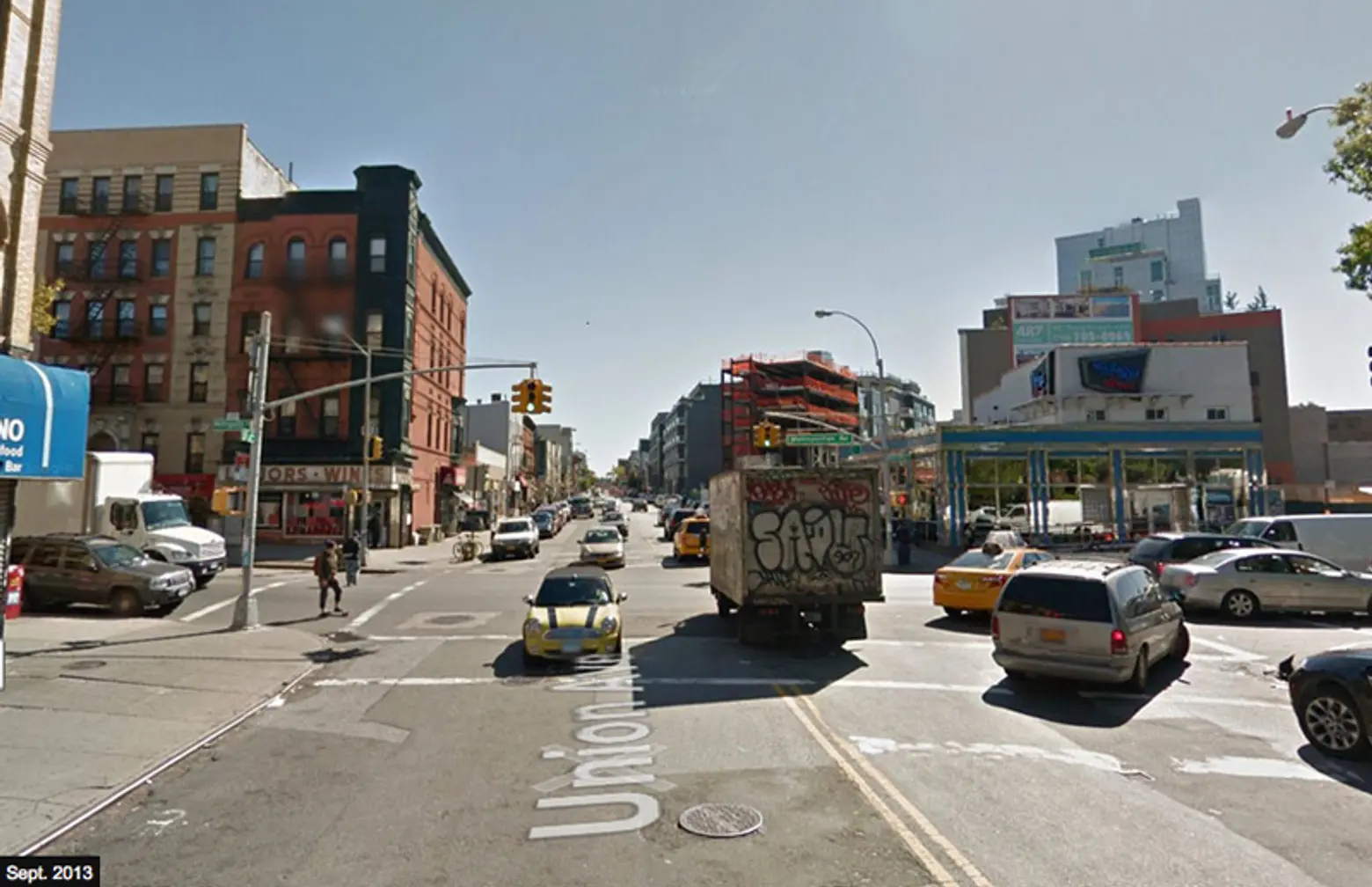
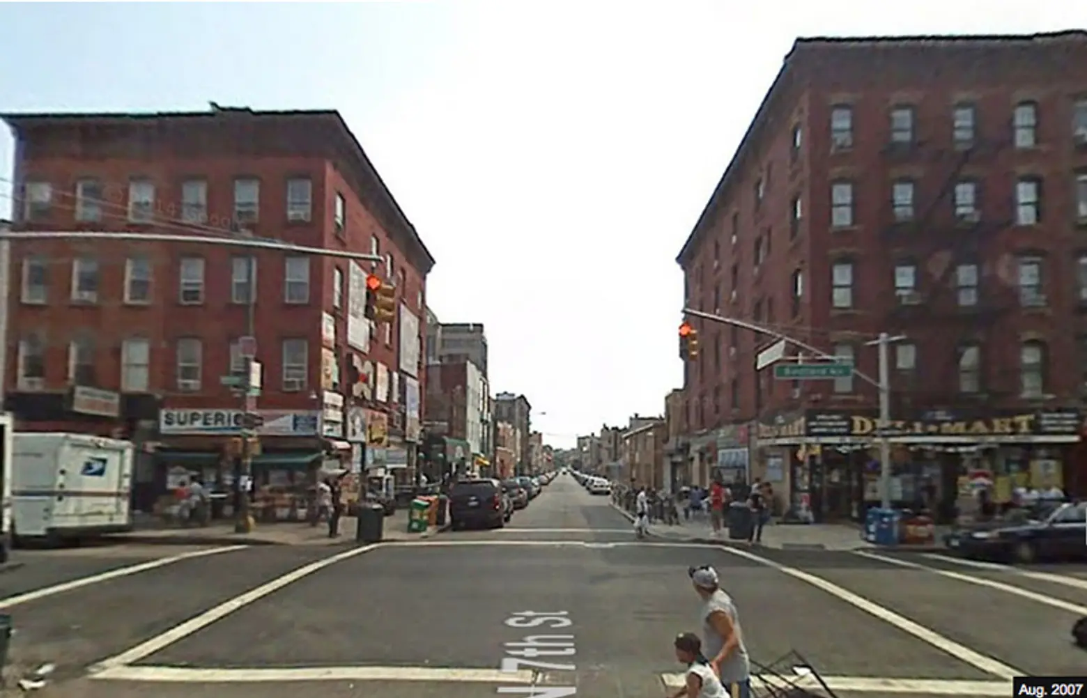
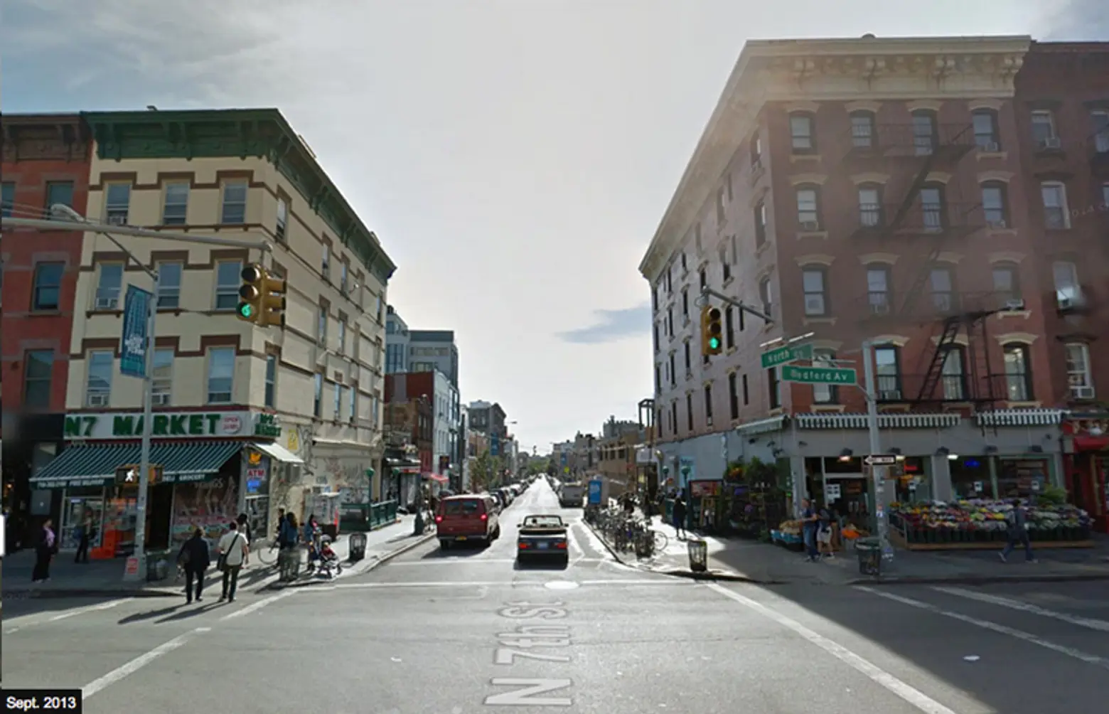
The photos culled by the WSJ ahead focus in on the unprecedented changes Williamsburg has undergone over the last six years. The alterations are particularly apparent at Bedford Avenue and North 7th Street, where some cosmetic improvements have been made to the building facades. However, the transformation is rather mind-blowing when you see the difference new developments by the waterfront have made to the neighborhood’s aesthetic.
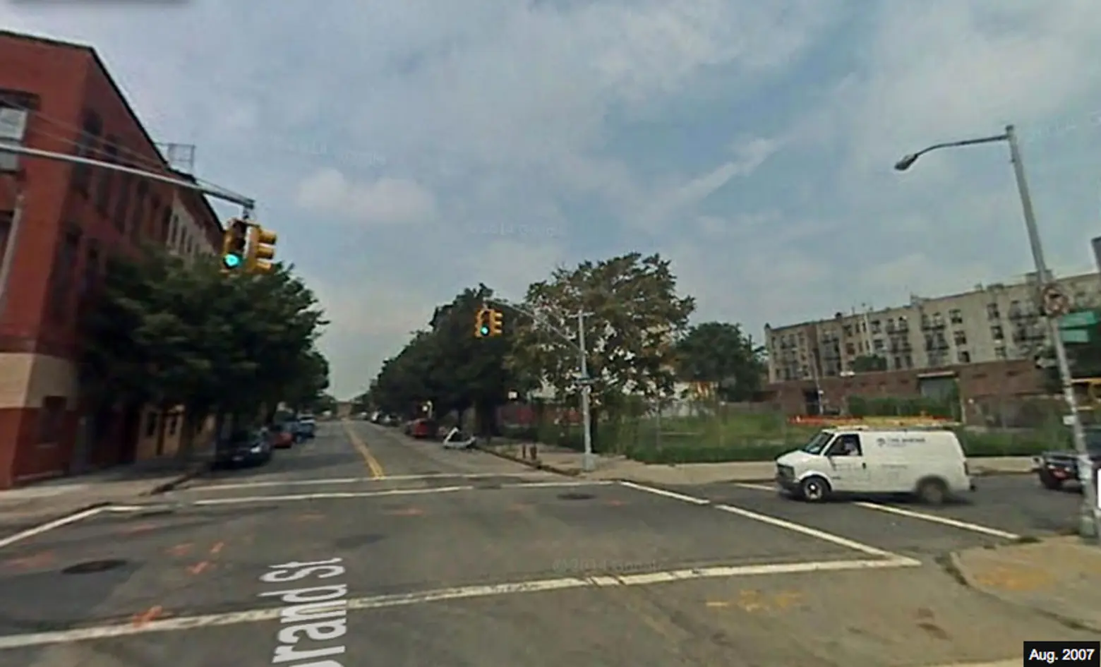
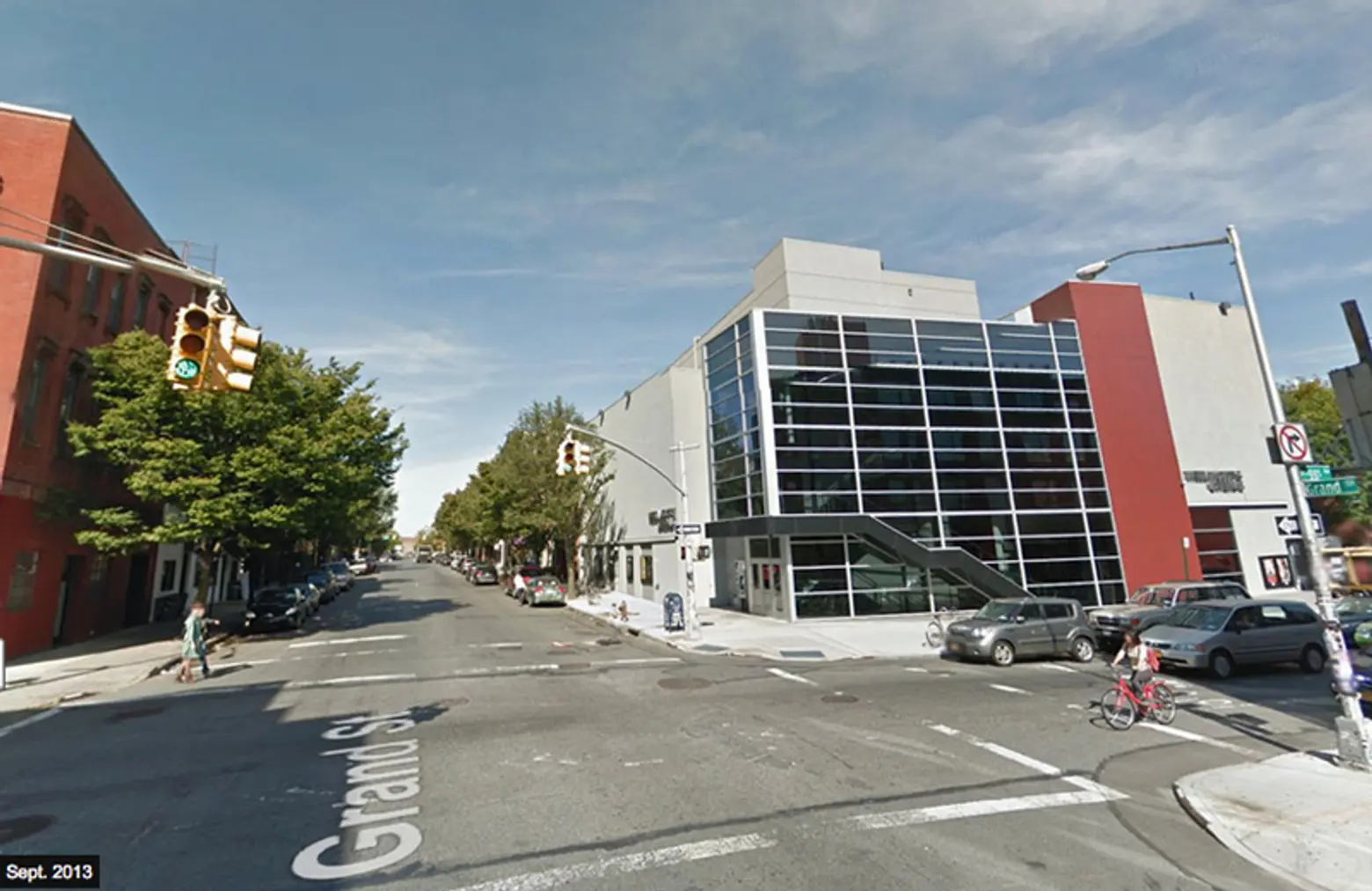
The addition of the Williamsburg Cinemas is a welcome change from the lot’s former occupant—a patch of overgrown grass and dirt with bright orange construction marker accents.
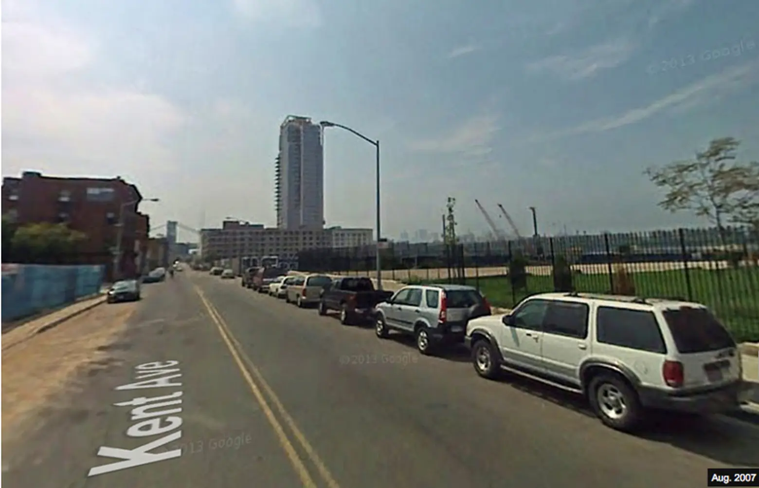
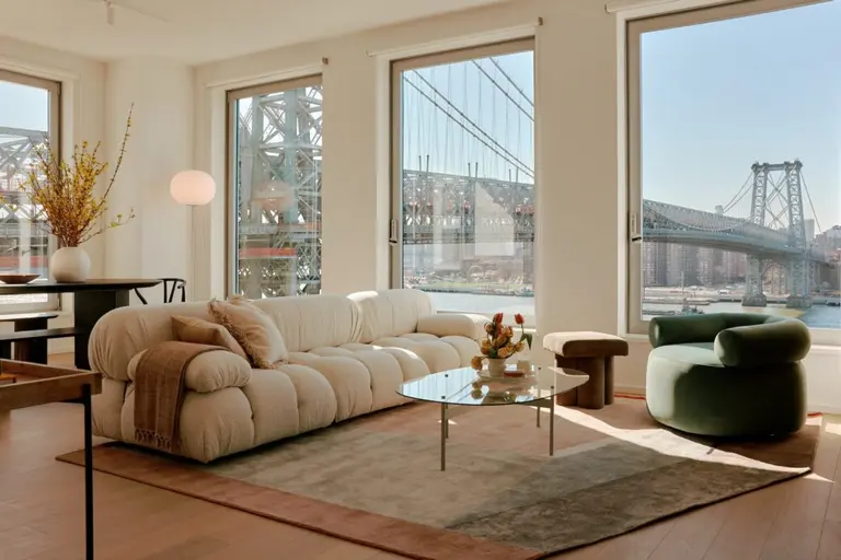
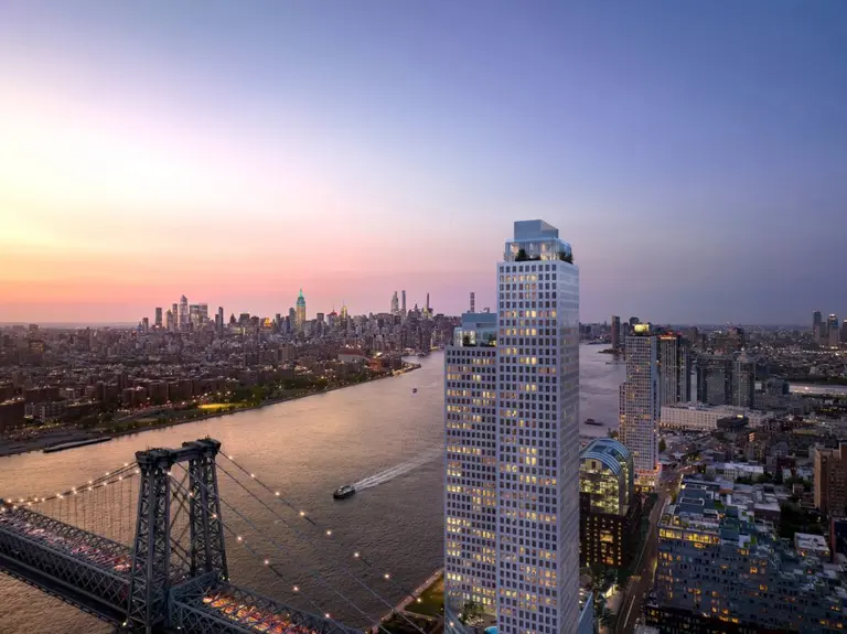
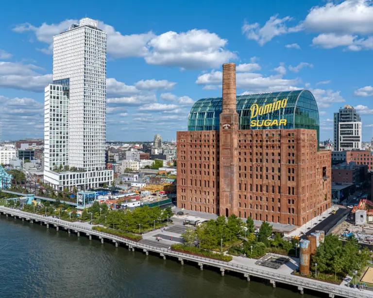
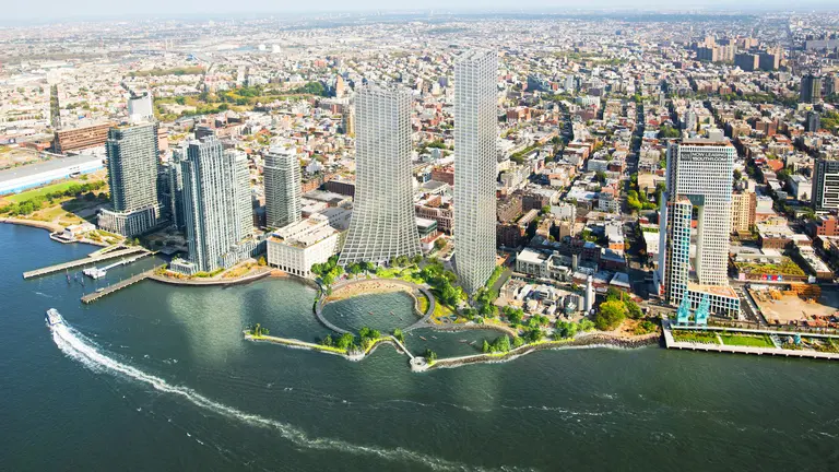
Today a slew of tall, glass condo towers crowd the waterfront along Kent Avenue. Though many grumble over the new buildings, the uptick in apartments have also brought with it more public spaces for the neighborhood to enjoy.
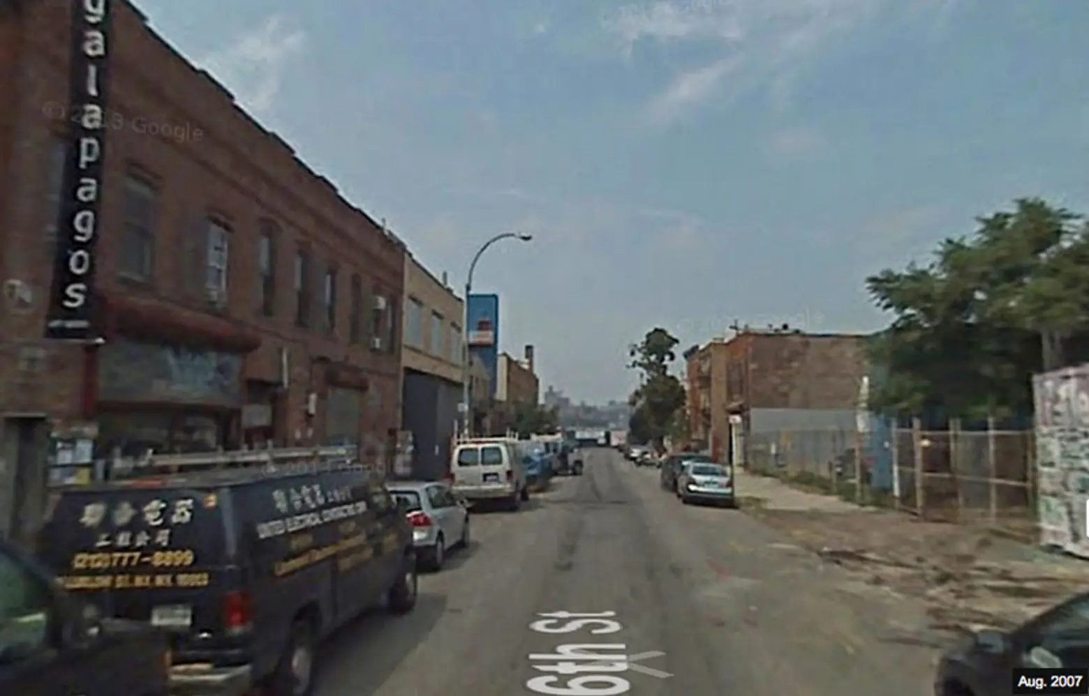
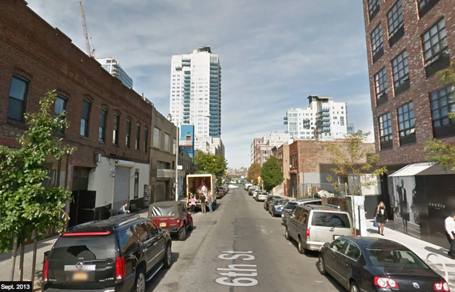
Once an urban blight, today North 6th sees new shops and greenery decorating the street. Plenty of warehouse-inspired residential buildings have sprouted—their designs of course nodding to the area’s (recent) industrial past.
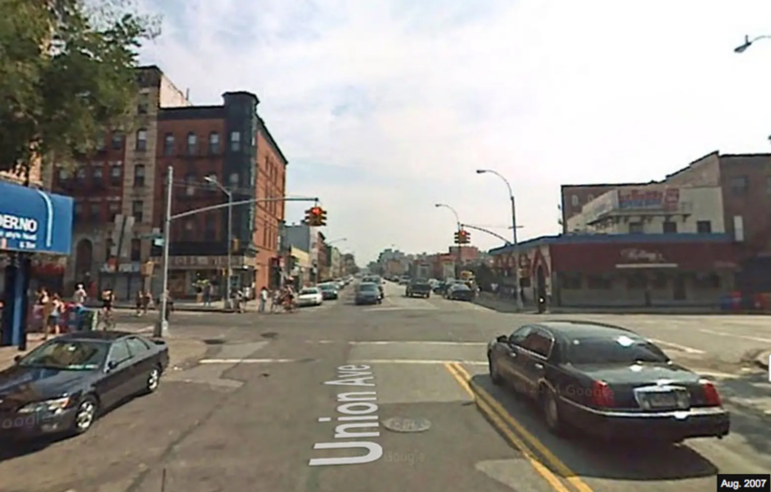
Another notable Brooklyn landmark that has had a remarkable face-lift is the famous Kellogg’s Diner. This immediate area is also home to some of the ‘Burg’s most frequented bars including Union Pool and Macri Park, as well as lots of new organic and gourmet grocery stores.
And then there’s North 7th directly off the Bedford stop on the L Train. It goes without saying no street in the neighborhood has seen such a dramatic revamp as this popular stretch.
[Via WSJ]
Photos Google Maps Street View
