Why Are the Mean Streets of Queens Numbered the Way They Are?
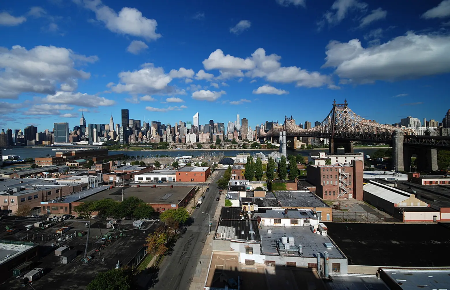
It’s easy to tell if you’re dealing with a Queens address–there’s the hyphenated street number and the variety of numbered thoroughfare names (Street, Place, Road, Avenue, Lane, Terrace). The really hard part, however, is actually getting to that address in Queens, especially if you’re a resident from another borough to whom it feels like trying to maneuver your way in another country where you don’t know the language. But instead of continuing to find ourselves lost, we decided to get to the bottom of this complicated system.
Prior to the consolidation of New York City in 1898, what is now known as the borough of Queens was only a hodgepodge of unconnected towns, each of which had its own road system and addresses. Once the towns were combined into one borough, having multiple road systems was becoming a hindrance to fast-growing Queens. So by 1911, the borough hired engineer Charles U. Powell to replace the old systems with a carefully planned grid system.
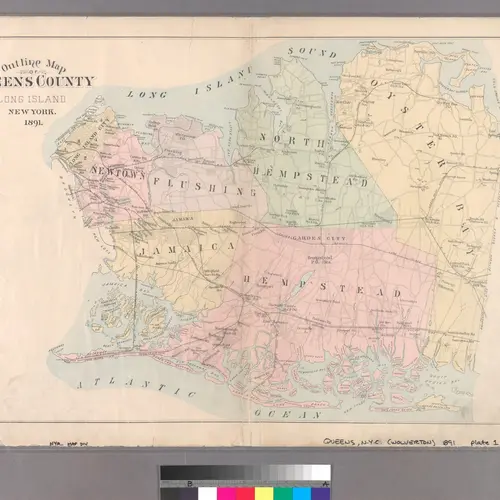
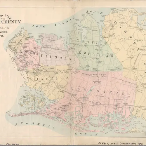
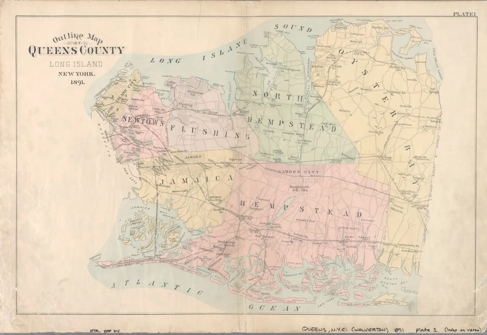 1891 map of Queens via NYPL
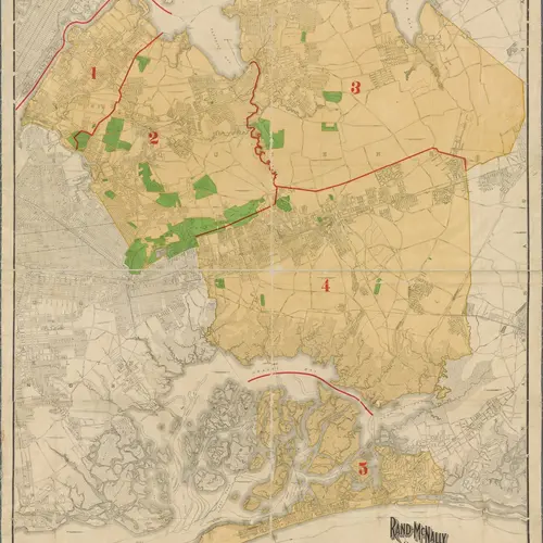
In the Queens grid system numbered avenues run west to east, while streets run north to south; it’s the reverse of Manhattan’s grid. In theory, this seems pretty simple to grasp, but a couple of things have forced exceptions to these rules. For one, Queens has a funky shape on account of the border it shares with Brooklyn and the natural geography of Long Island. Because of its shape, some avenues don’t run the full course across the island while other avenues end up curving.
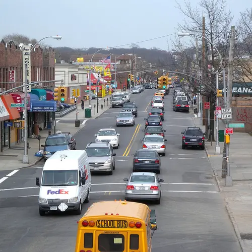
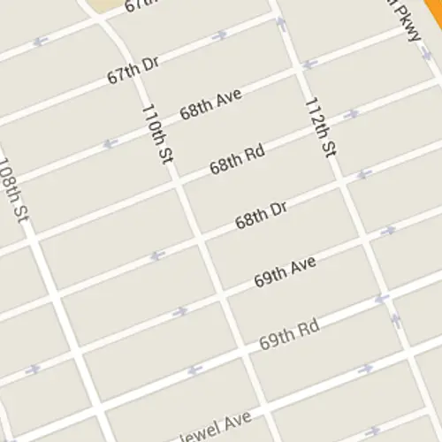
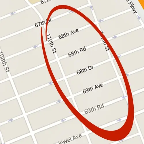
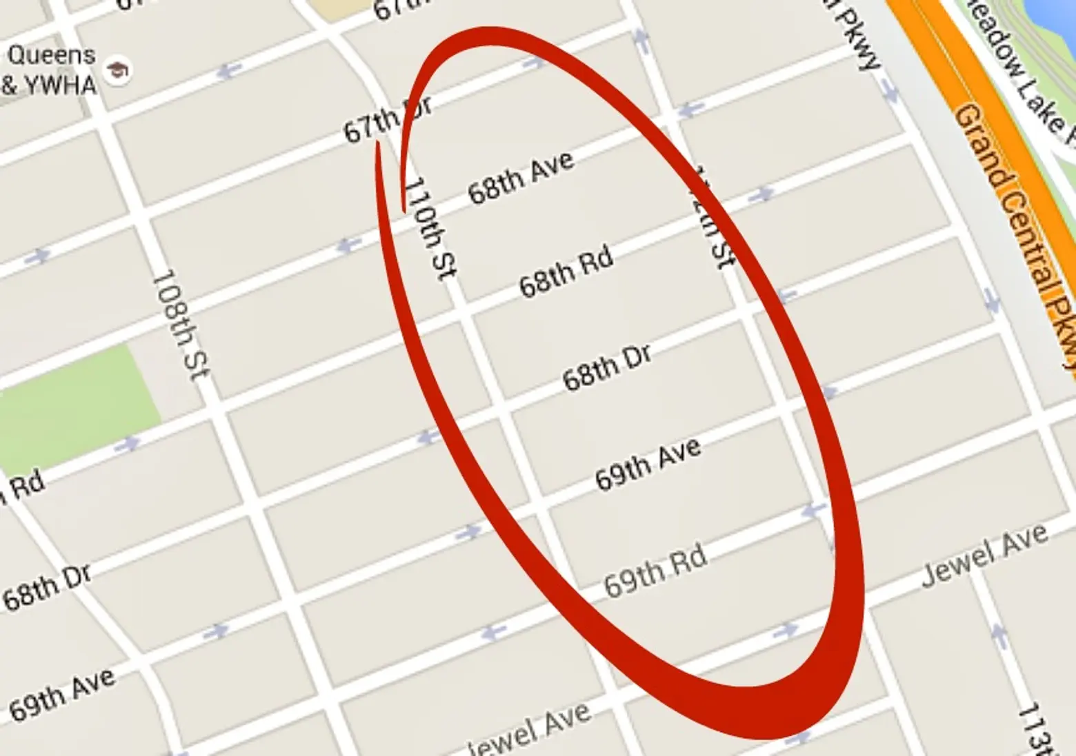 Image via Google Maps
The other exceptions equate to growing pains. When Queens became more populous and new houses and buildings were arising, it was necessary to create streets, or rather avenues, that weren’t previously part of the grid system. They had to be accounted for somehow, but completely redesigning the grid system was not going to happen every time a new avenue was built. Instead, city planners came up with a clever, albeit confusing, way to incorporate these new pathways. Rather than renumbering the grid, city planners decided that these new avenues weren’t going to be called avenues; instead, they would be called roads and drives. For example, if multiple avenues had been created between 45th Avenue and 46th Avenue, these new paths would get the titles of 45th Road and 45th Drive, respectively.
This saved city planners the headache of completely overhauling the system, but in return it has created headaches for everyone else due to the inconsistencies in the system that can’t be predicted without looking at a map. While some avenues have the whole nine yards of lane-naming in between them, other avenues would have a just a road or nothing at all.
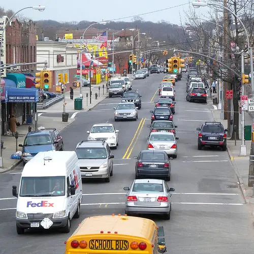
Lost in NYC via Ed Yourdon via photopin cc
Queens addresses do come with navigational hints, however. Most are set up in this form: XX-XX YY Street/Avenue, where there is a set of numbers on both sides of the hyphens. While the number behind the hyphen is the number of the building, the number in front of the hyphen actually signifies the address’ nearest cross street (or cross-avenue). For example, the address 12-34 56th Street means that you’re looking for a building numbered 34 on 56th Street and the closest cross street to this address is 12th Avenue. This would also be the case for an address like 34-58 54th Avenue. You would be looking for a building numbered 58 on 54th Avenue and the nearest cross street would be 34th Street. As expected, adding roads and drives into the mix complicates the system, but at least you’ll know that you’re on the right path. That being said, perhaps the best piece of advice for navigating Queens in the 21st century is when in doubt, google it–or ask a Queens native for directions.
RELATED:
Get Insider Updates with Our Newsletter!
Leave a reply
Your email address will not be published.
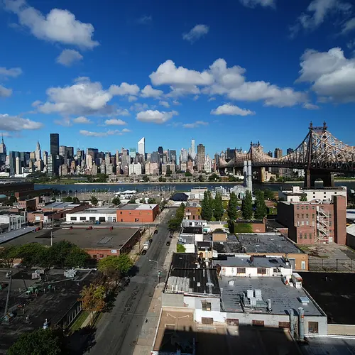







When travelling in Queens it’s helpful to know what neighborhood you want to go to – 69th Street can be in Woodside, Glendale, Maspeth, Forest Hills, among others. Narrow it down, people! There’s no such place as “Queens”.