The Penn Station Atlas Wants to Make the Awful Space Less Confusing

“The concept behind this project is simple but powerful: a user-centric atlas of a complex space – a unique set of maps designed to help anyone easily find the best way to their destination in Penn Station.”
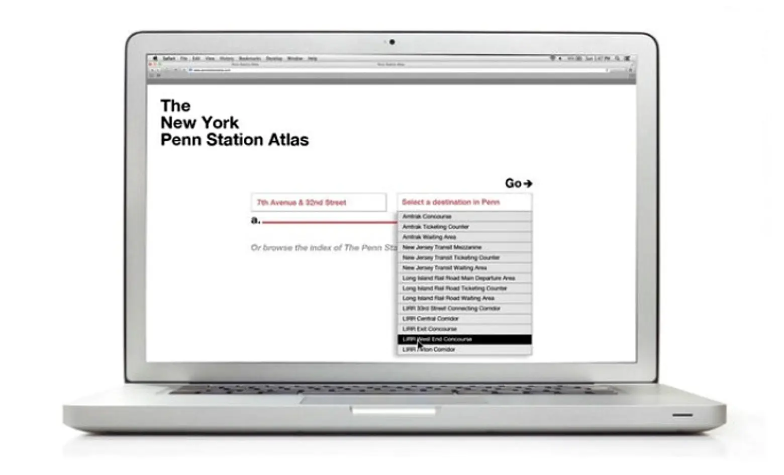
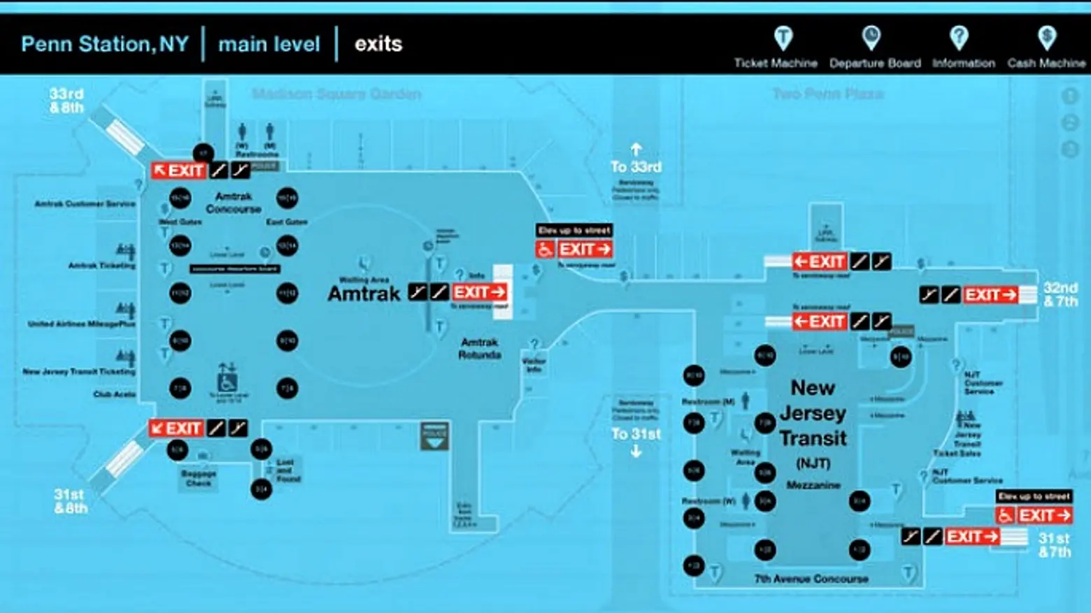
Designer John Schettino realized that even though he traveled through Penn Station every day, he’d still find himself lost in the labyrinth that has become one of New Yorkers’ most loathed destinations. So he studied maps of the underground station and observed how people interacted with the space to create the New York Penn Station Atlas. The project uses 2D and 3D models that make up a set of maps to show general layout, key locations, and routes for getting from one point to another. Schettino, with a boost from the Municipal Art Society, hopes all these resources will become available for electronic devices at no cost.
More than 500,000 people go through Penn Station every day, more than the total of JFK, LaGuardia, and Newark combined, making it the busiest transit hub in the Western Hemisphere. But station conditions such as “overcrowding, low-visibility, complex layouts and fragmented wayfinding systems” leave many of these people lost and lead to congestion and general disorganization. Plus, on an average day, 5,000 people ask for directions, resulting in hours of lost resources.
Unlike traditional north-south maps, the Atlas offers a heads-up perspective “to correspond to the direction that a person is facing, inherently aligning that person with their environment.” And context mapping makes it easy for a person to single out exactly what they’re looking for instead of having to weed through everything in the station.
The video below demonstrates how the Atlas would be employed, but in order for it to become a reality, the project still needs to go through testing, iterations, and platform optimization. Schettino also needs partners (likely both creative and financial) and contacts with stakeholders of Penn Station with whom he can share his ideas.
Explore the entire New York Penn Station Atlas HERE >>
RELATED:
Get Inspired by NYC.
Leave a reply
Your email address will not be published.



Penn Station is such a massively dysfunctional public space that it’s hard to know where to begin. But this is an interesting start. Because Penn is used mostly by visitors and commuters, it’s easy for city officials to ignore it. Alas, it has no stakeholders except Amtrak, which is overwhelmed. This atlas will be good for the hapless souls who come in on the newark air train and Amtrak. For so many people, the lower level of penn is their first experience of New York and the United States, sad to say.