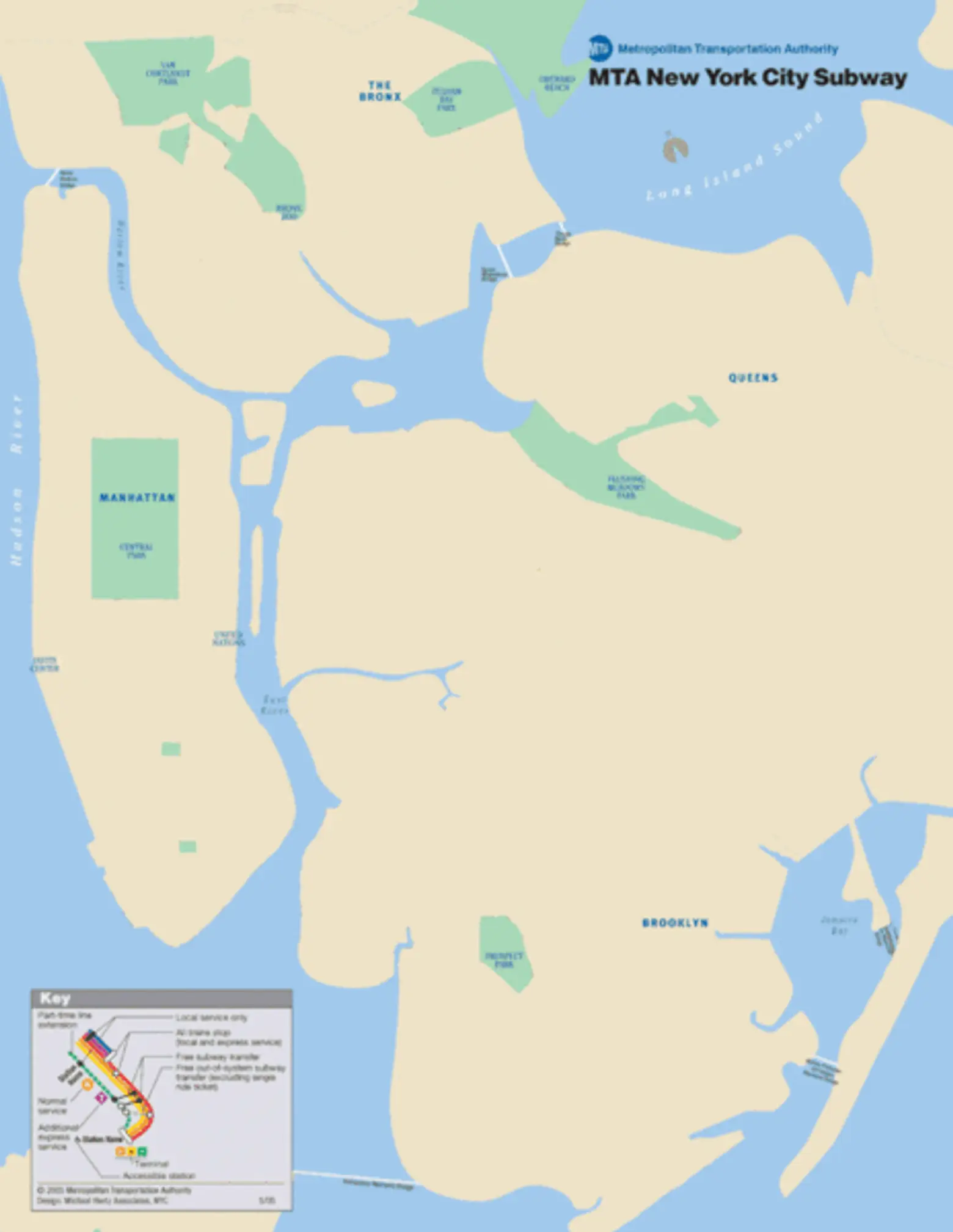
Animated GIF Shows How NYC’s Subway Has Evolved over the Last 100 Years

If you’ve ever wondered what subway lines were the first to appear in NYC, this cool animated map has all the answers and then some. Created by Appealing Industries via Paste Magazine (h/t Untapped), the map shows the evolution of the city’s various lines over the 100-plus years that it’s been in operation. Surprisingly, Brooklyn is the first to see action on the map; the lines were part of the Brooklyn Rapid Transit Company (later the BMT), created in 1896, and followed existing surface railways and streetcar lines. The IRT, which runs in Manhattan and marked the official opening of the subway network, wasn’t established until several years later in 1904. Untapped is also apt to note that the map doesn’t consider the aboveground rail lines that were constructed in the late 19th century, nor does it include the first pneumatically-powered subway line which opened in 1870.
RELATED:
- NYC’s First Subway Line Moved Passengers Just One Block–Can You Guess Which?
- Light at the End of the Tunnel: The Second Avenue Subway Already Sending Real Estate Prices Soaring
- See New York’s Subway Through the Eyes of a 17-Year-Old Stanley Kubrick (Photos)


