NYC Time Machine Lets Users Navigate Overlaid Maps from 1600 to Present Day
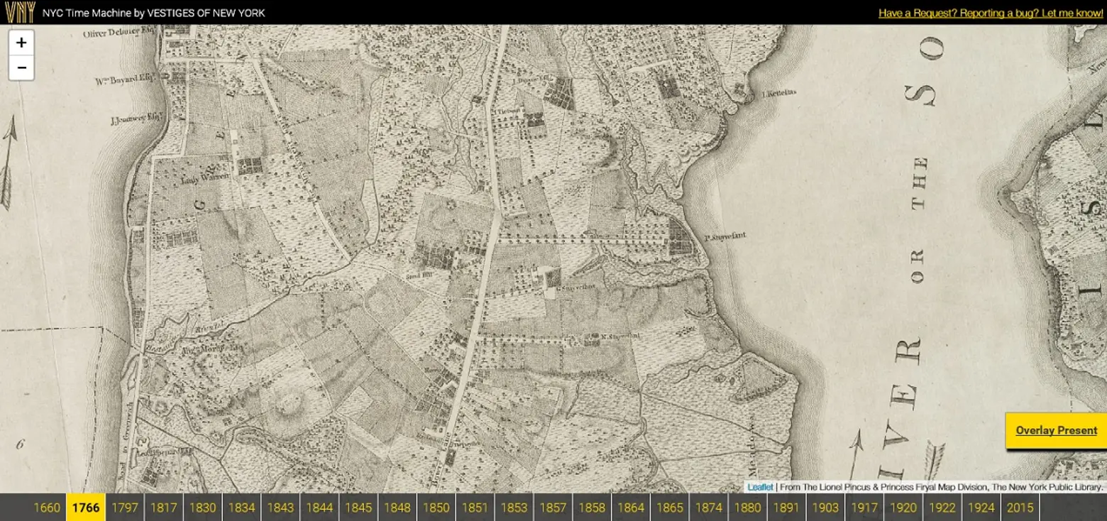
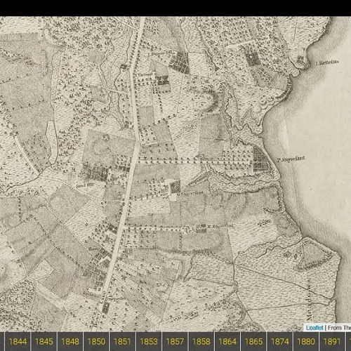
A 1776 map that shows Peter Stuyvesant’s farm in the present-day East Village
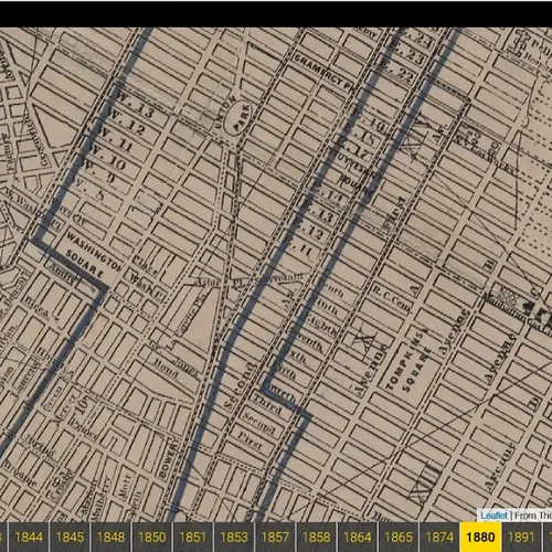
Cartographers and history buffs will have a field day with this online tool known as NYC Time Machine. Using public data from the New York Public Library, the resource allows users to “navigate perfectly-overlaid maps of NYC from 1660 to present day.” The site is part of Vestiges of New York, which overlays historic photos and current images.
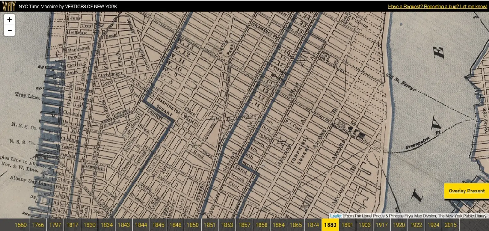 The same map view in 1880
NYC Time Machine works by orienting the historic maps exactly with present-day Google maps, using an overlay feature. According to the site’s founder Orian Breaux, “My perspective is that the intersection of history and tech can engage new audiences and help people discover the world around us in novel ways.”
Let the map fun begin right here.
[Via Bowery Boogie]
RELATED:
- Website “WhatWasThere” Lets Users Tour Their Neighborhoods Through Historic Photos
- Urban Reviewer: A New Map Tool Reveals NYC’s Vacant Lots Ready for Revitalization
- Video: Footage Dating from 1896 Is the Oldest of NYC
