Animated GIFs Remembering the Post-Sandy Devastation

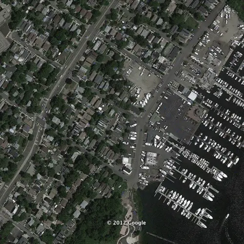
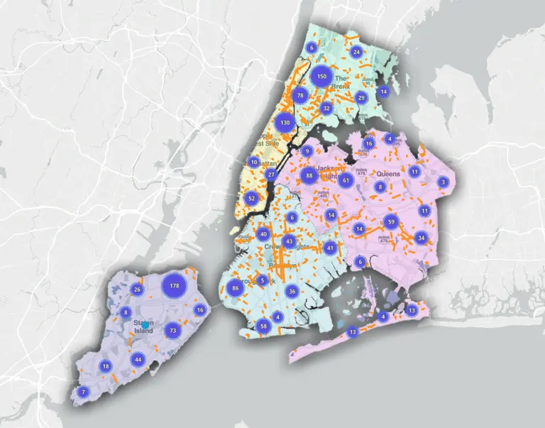
Before-and-after views of Staten Island
This week marks the two-year anniversary since Hurricane Sandy devastated New York City and the surrounding coast lines. In its wake, the storm forever altered our coastal areas. These before-and-after satellite images from the Huffington Post taken via Google Earth, show just how dramatic the damage was—and they ask us to consider the progress we’ve made recovering from the destruction over the last two years. Our rebuilding efforts in the post-sandy aftermath have been significant, however our work is far from over.
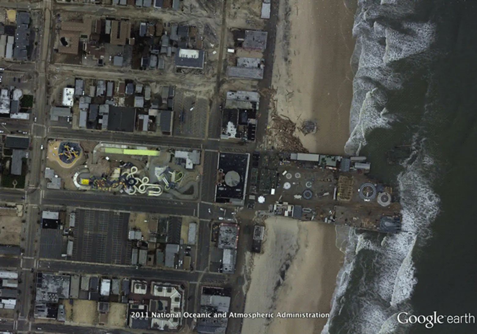
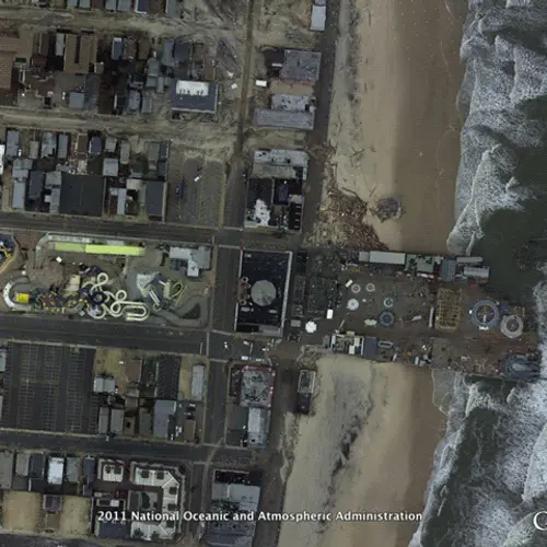
Seaside, NJ, where the rollercoaster was in the ocean after the storm
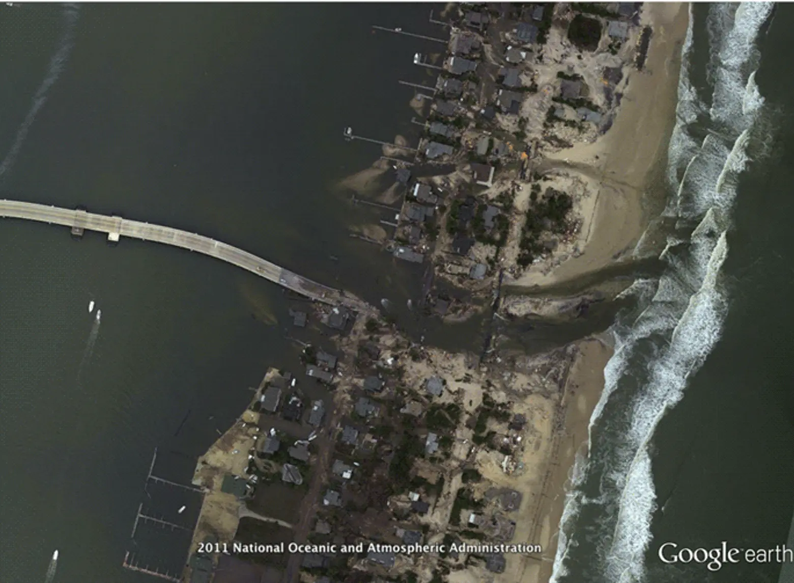
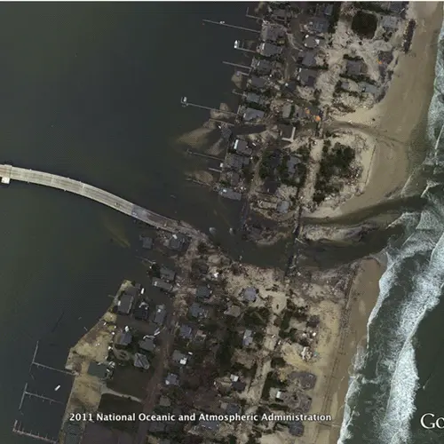
Mantoloking, NJ, the barrier island where entire roads were washed out and inlets were carved
New York City is a fast moving town, but two years ago the hustle and bustle was drawn to a virtual stop, and regardless of deadlines or meetings New Yorkers had to take a moment of pause. It’s always important to reflect on things past, and since it’s the two year anniversary of the storm, we should again take a moment to remember where we were and what we were doing before and after Sandy hit. As a community we should also recognize how we can use design to prevent this level of devastation in the future.
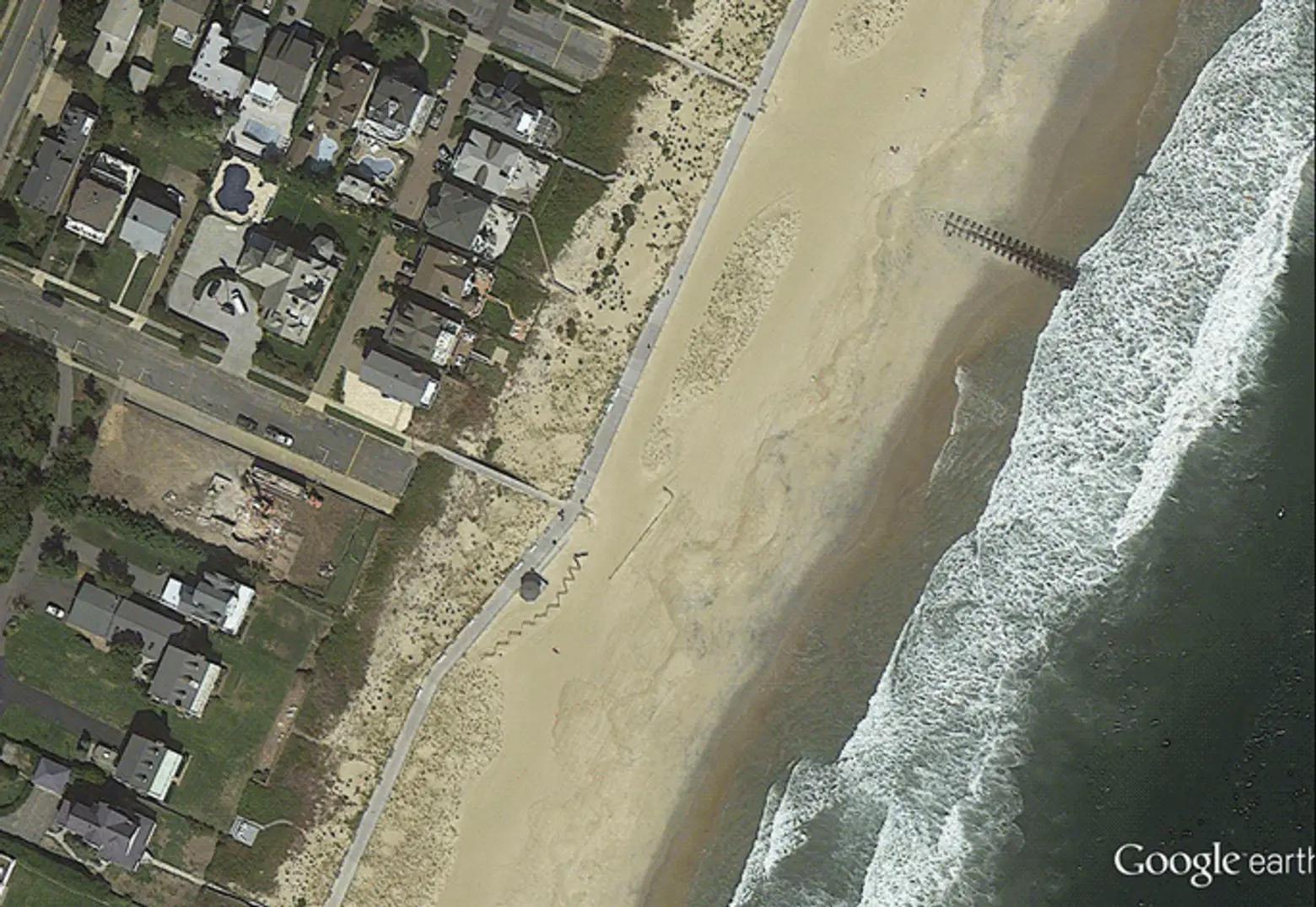
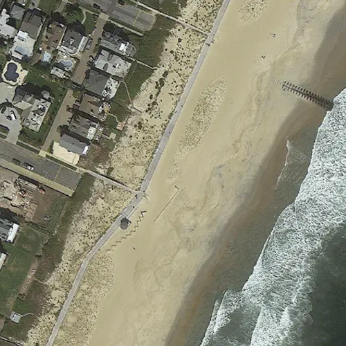
Sea Girt, NJ, where the entire boardwalk was destroyed
With projects like the South Street Seaport and Greenpoint Landing we’re now seeing how developers in NYC are incorporating resilient design into upcoming projects. And it’s this type of forward thinking that will help us to protect our beloved city for generations forthcoming.
[Related: Rebuild By Design Announces Winning Proposals for Post-Sandy Flood Protection]
[Via Huffington Post]
Interactive photos via Jake Bialer
