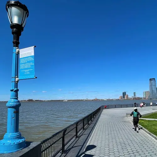
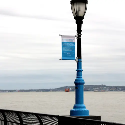
Blue lamp posts in Battery Park City illustrate height of potential flooding from next severe storm
Photos courtesy of the Battery Park City Authority
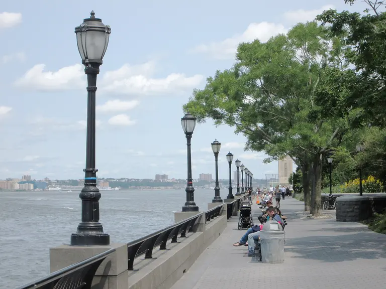
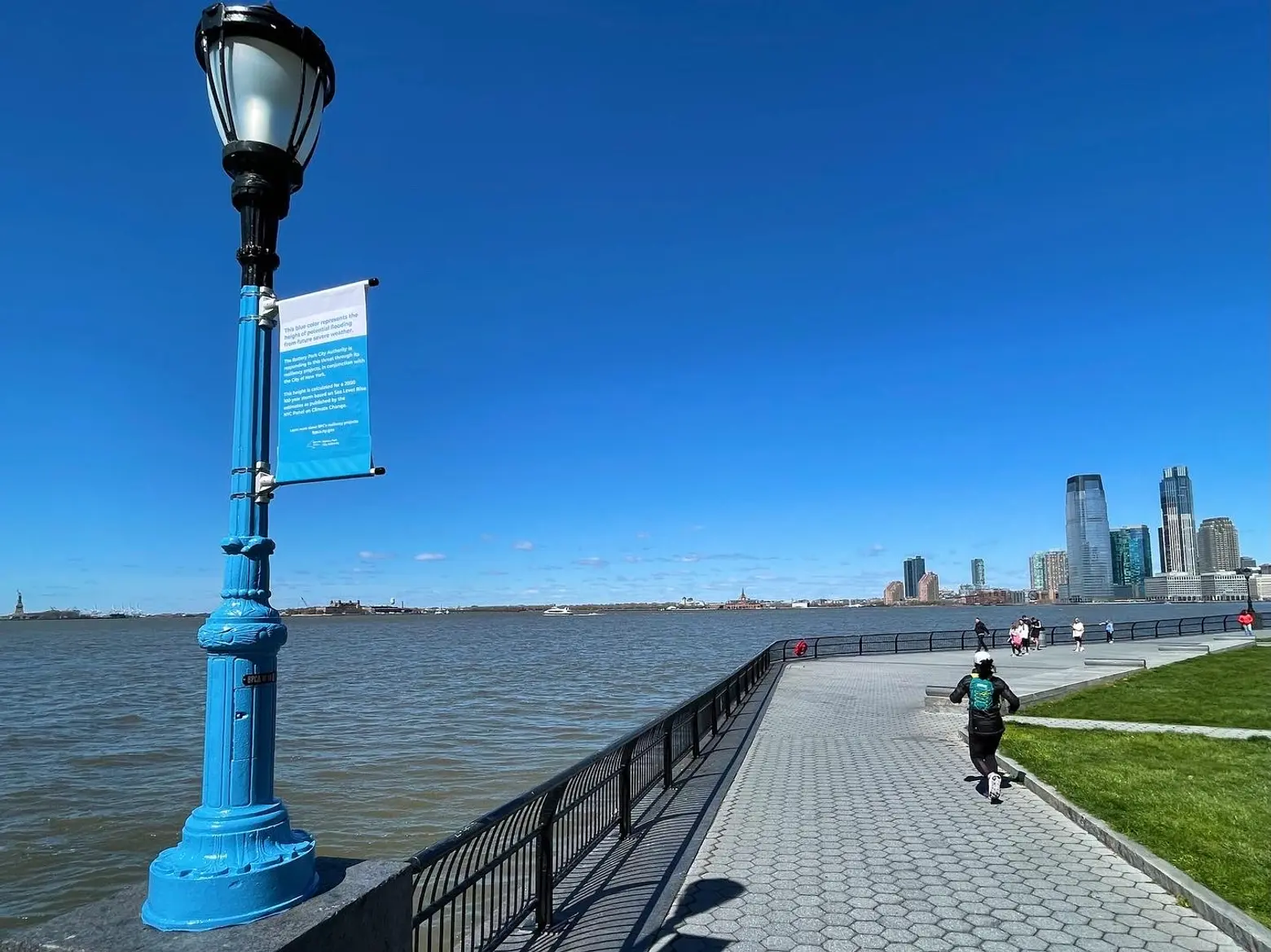
A new project along Battery Park City’s waterfront illustrates the alarming implications of climate change and the urgent need to protect the city’s coastlines. The Battery Park City Authority (BCPA) painted 11 light poles situated along the length of the esplanade to indicate the levels water could rise to during a storm surge in a future severe weather event. The blue paint on the poles ranges in height from 18 to 23.5 feet above sea level, and informative banners have been installed to keep visitors educated and engaged.
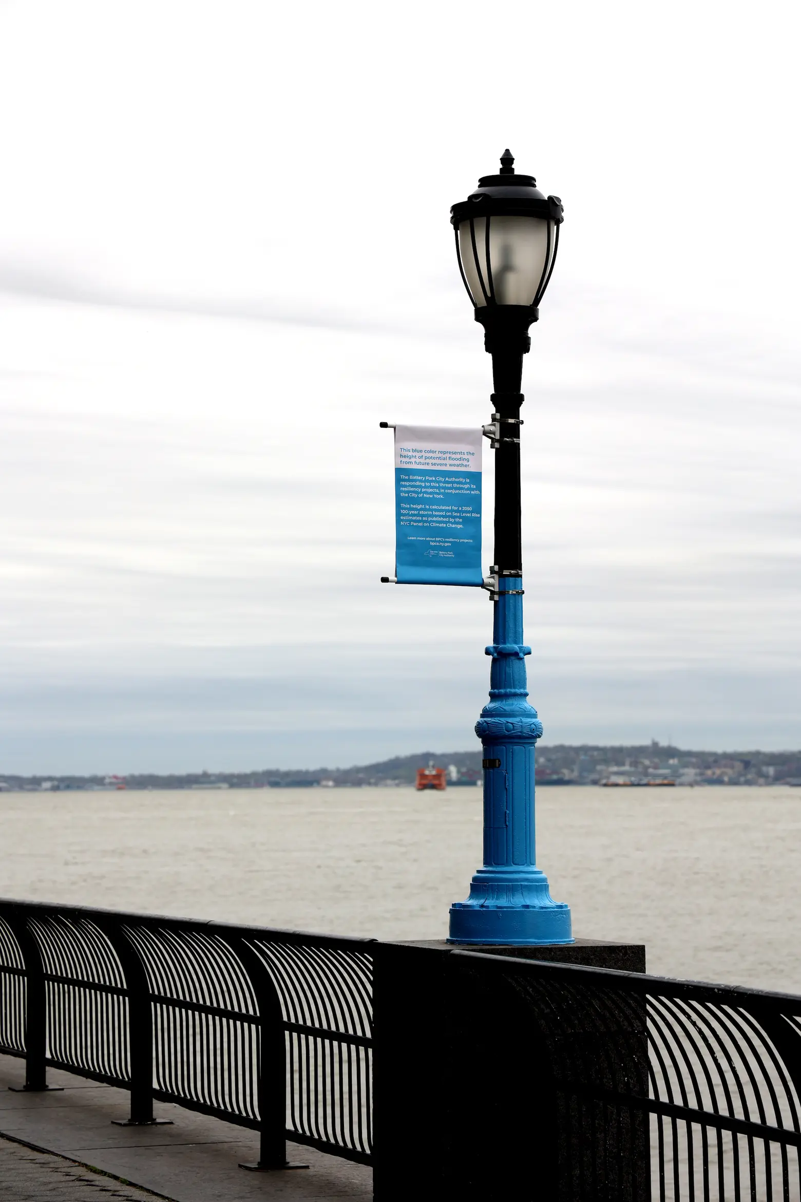
Using feedback from the community, city, and state officials, and the findings from a resiliency assessment conducted in recent years, BCPA has launched a number of projects intended to make Battery Park City more resilient to severe weather and the consequences of climate change.
This summer, BCPA will start work on the South Battery Park City Resiliency Project, a major construction project that involves the installation of a continuous flood barrier starting from the Museum of Jewish Heritage, through Wagner Park, Pier A Plaza, and the northern border of Battery Park. Additional flood protection is planned for other areas of Battery Park City’s coastline.
In August, BCPA plans to close Wagner Park and commence a two-year construction project that will raise the 3.5-acre park by nearly 12 feet, according to the Tribeca Trib.
According to calculations by the New York City Panel on Climate Change, in the event that a major storm occurs, water levels would rise in varying degrees along the waterfront. North Cove may experience flooding up to 18.5 feet above sea level, while Belvedere Plaza could experience flooding up to 23 feet.
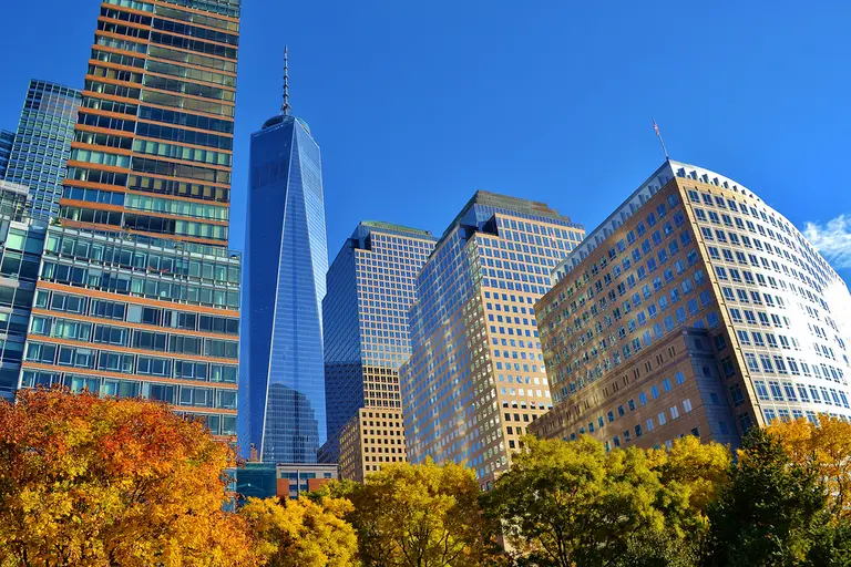
In January, the city released the Financial District and Seaport Climate Resiliency Master Plan, a $7 billion project that would install similar protective measures along the Financial District’s waterfront. The area, hit hard by Hurricane Sandy in 2012, is projected to experience monthly flooding by the 2050s and daily flooding by the 2080s. As 6sqft reported, protecting the Lower Manhattan waterfront, from The Battery to the Brooklyn Bridge, involves the creation of a multilevel waterfront that adds up to 200 feet of shoreline to the East River, with its upper level raised by 15 to 18 feet to protect against severe storms.
RELATED:
