City adds 13,000+ new subway maps ahead of Second Avenue Subway opening
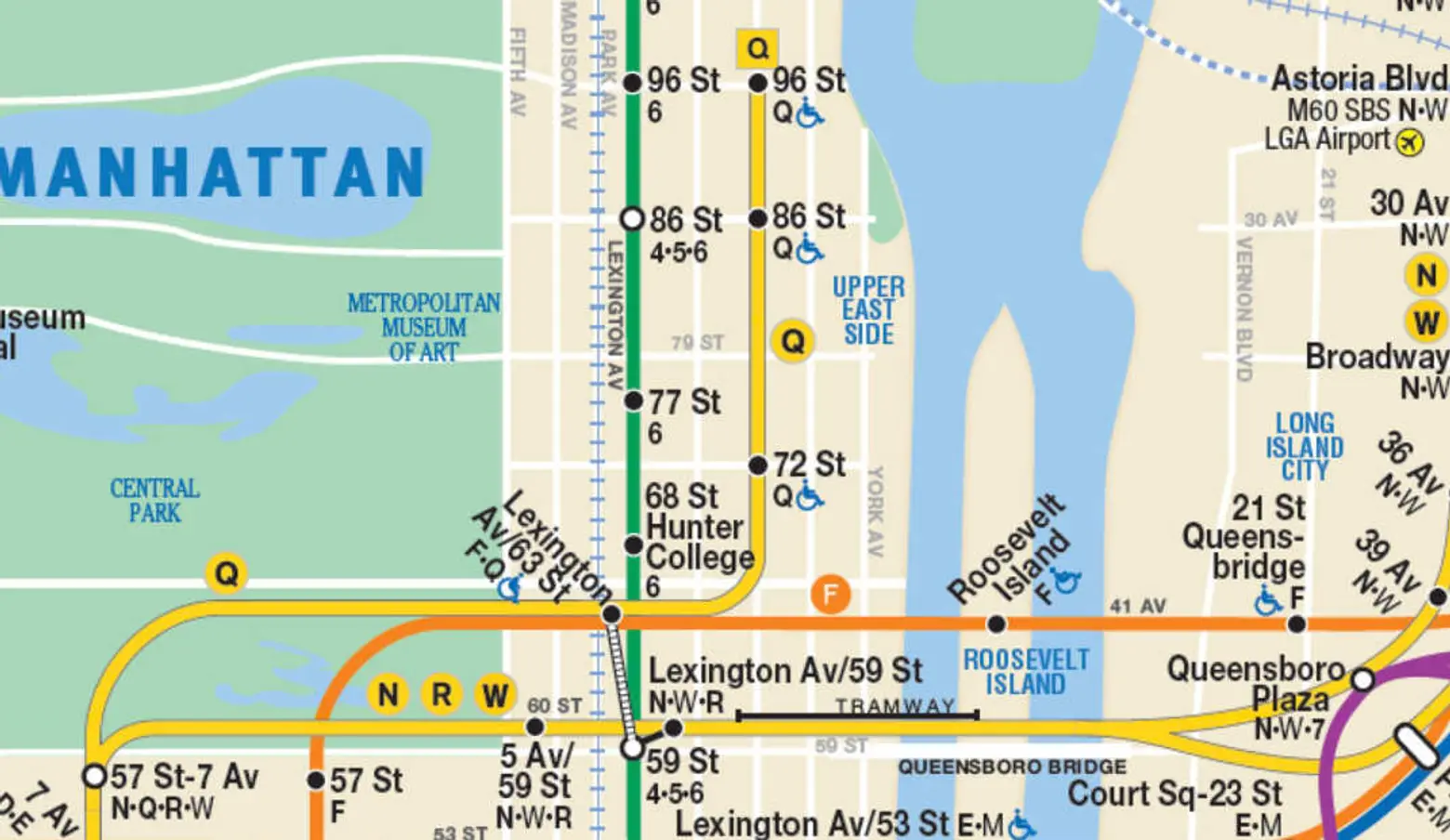
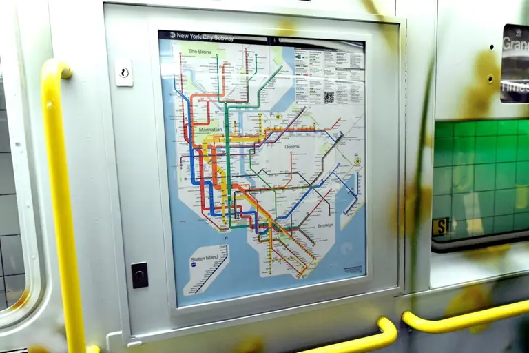
With just 11 days left until the public opening of the Second Avenue Subway, Governor Cuomo has made another show of good faith, announcing that more than 13,000 subway maps featuring the new line have been added throughout the transit system. This includes the installation of 12,600 new in-car maps and 1,000 large station maps in addition to even more maps at Metro-North and LIRR hubs and one million pocket maps that are currently being printed.
It’s happening. The Q train appears along Second Avenue on the subway map. pic.twitter.com/Ppebw1P4Cr
— Emma G. Fitzsimmons (@emmagf) December 18, 2016
The Governor’s office says that over the weekend installation of the new maps began on the subway system’s 6,300 cars, and the large station maps were being posted as of today. In a statement Cuomo said, “On every subway car, in every station, and throughout New York, installing these maps means that the Second Avenue Subway is finally here and will be open on time. This significant expansion of the subway system, which was more than 50 years in the making, will benefit millions of New Yorkers and is a major step forward toward our goal of modern and reimagined MTA.”
As 6sqft reported earlier today, service on the Second Avenue Subway will officially open to the public at noon on January 1st. It will run from 6am to 10pm until overnight service begins on the 9th.
RELATED:
- Second Avenue Subway will run with limited service for its first week
- Second Avenue Subway officially opens to the public January 1, 2017!
- First look at the Second Avenue Subway’s $4.5M public art installation
- More Second Avenue Subway coverage
