City’s new interactive Facilities Explorer map shows you which public resources are in your neighborhood
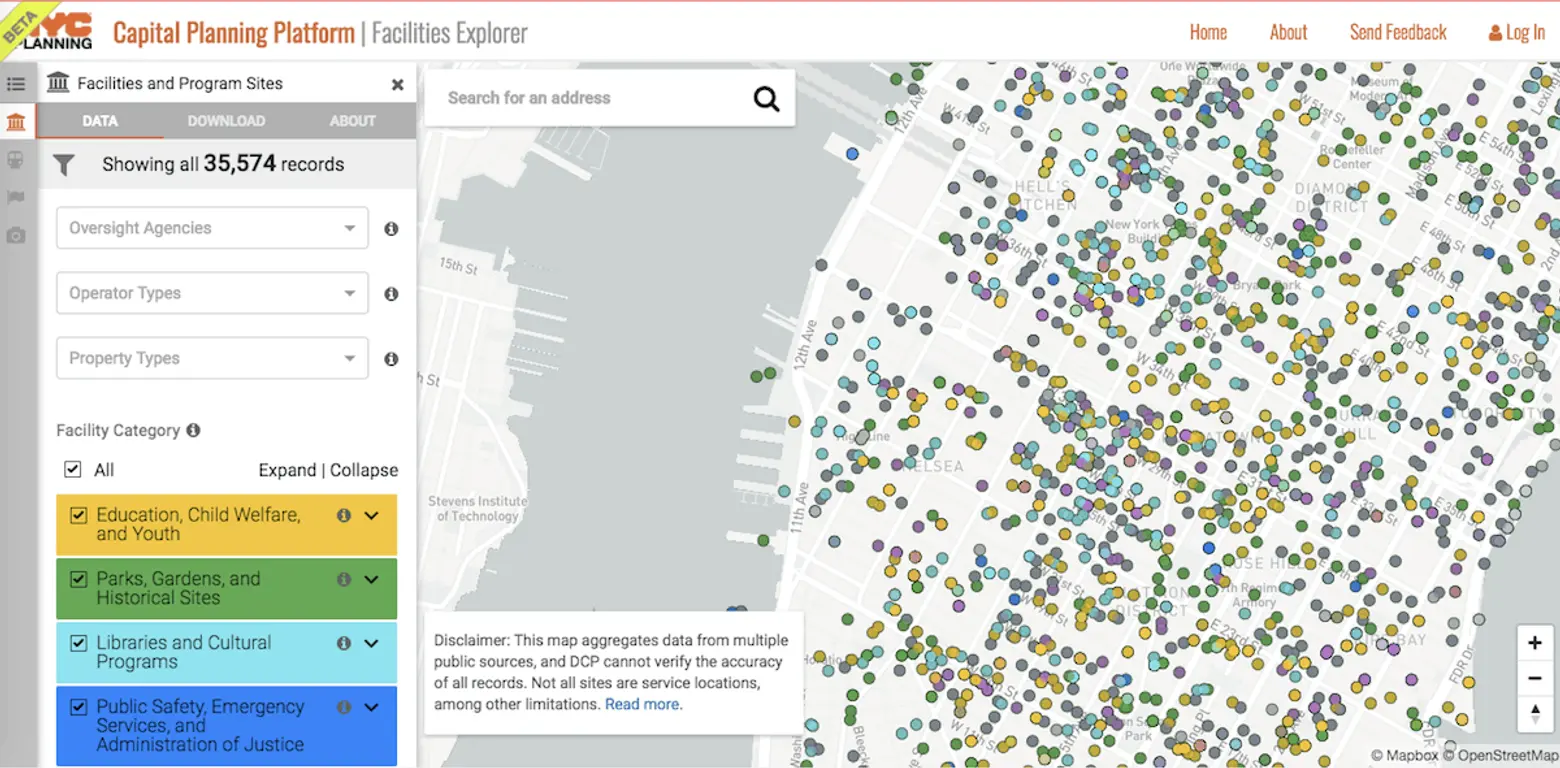
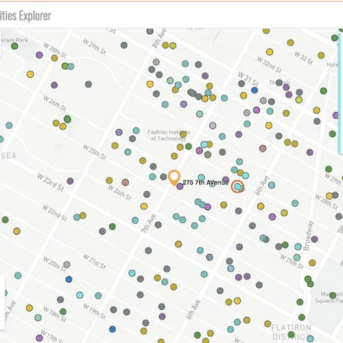
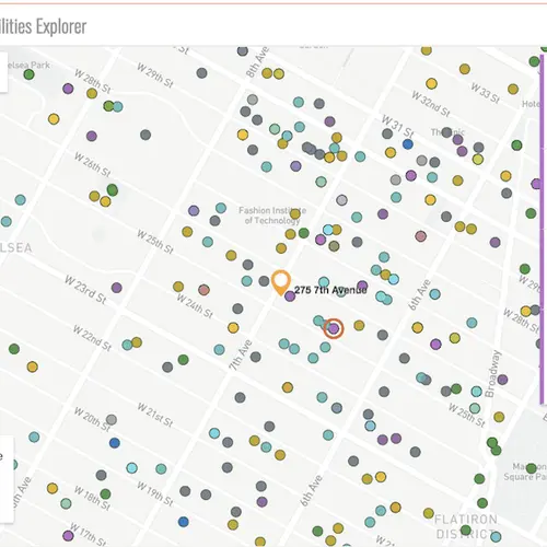
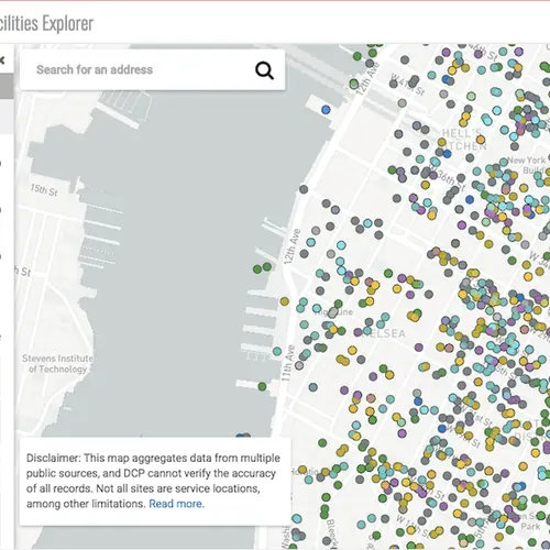
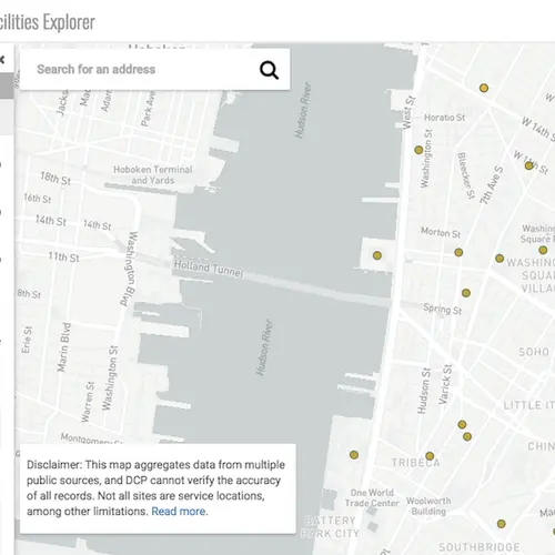
From parks and kids’ camps to food pantries, a new map–just launched in Beta mode–from the Department of City Planning lets you visually explore a database of over 35,000 records from 43 different city, state and federal agency data sources, according to DNAinfo. You can see how your community stacks up when it comes to schools, police precincts, waste dumps, free legal help, ADA facilities, resources for children and seniors and much more, and find resources when you need them. The intention of the NYC Facilities Explorer is to give community boards, council members and agencies an easy way to locate services quickly when they’re considering future projects in various parts of the city.
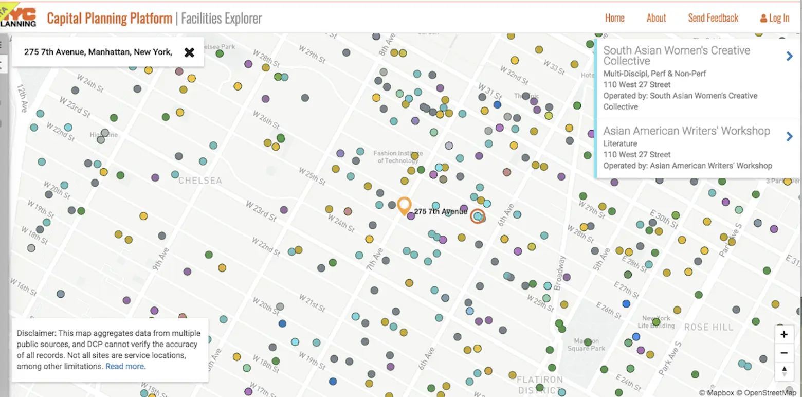
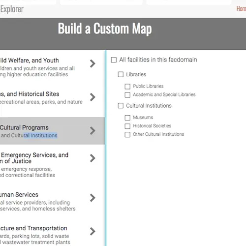
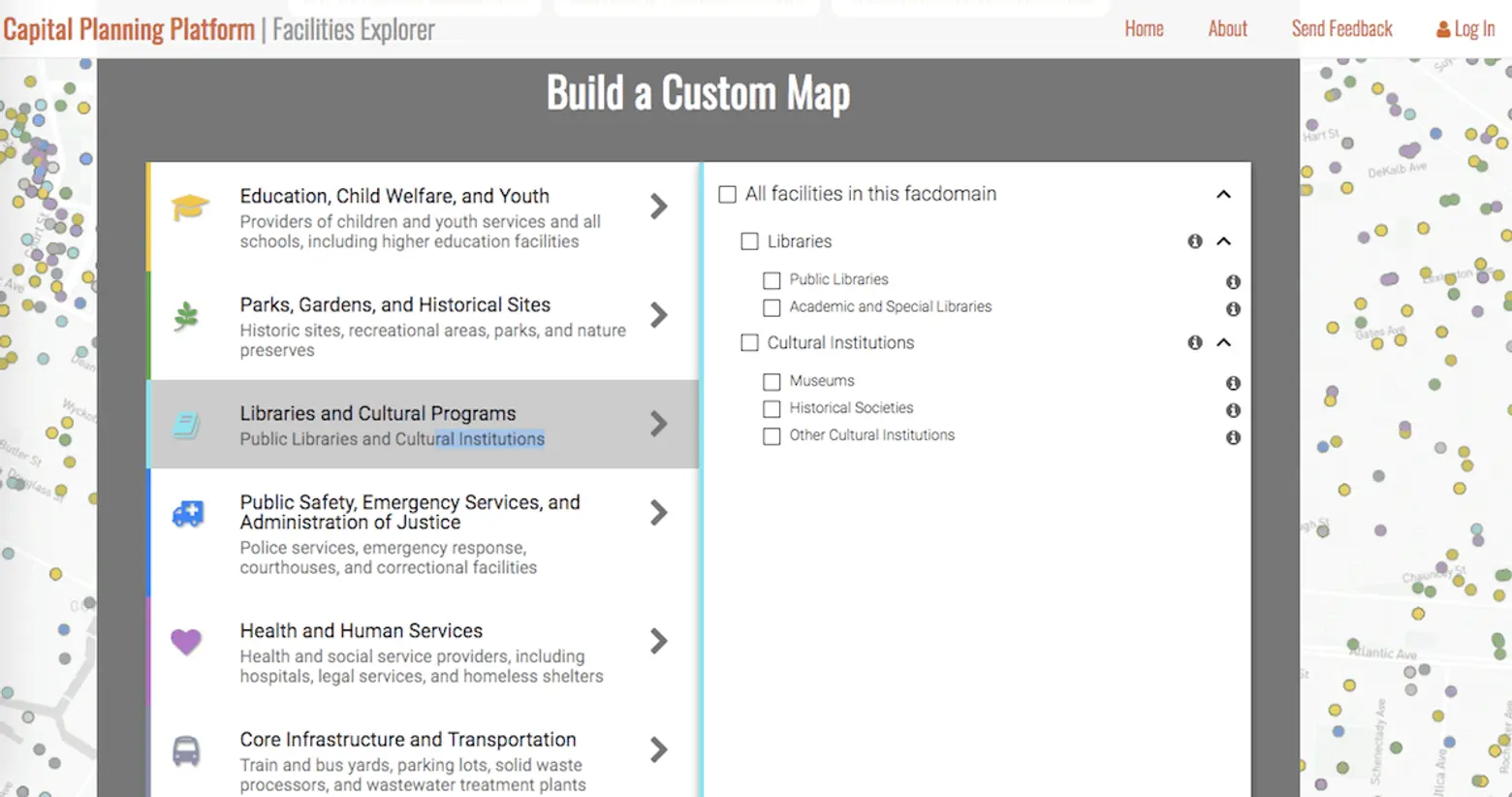
You can create custom maps based on information groups like “Education, Child Welfare and Youth,” and “Libraries and Cultural Programs,” for example.
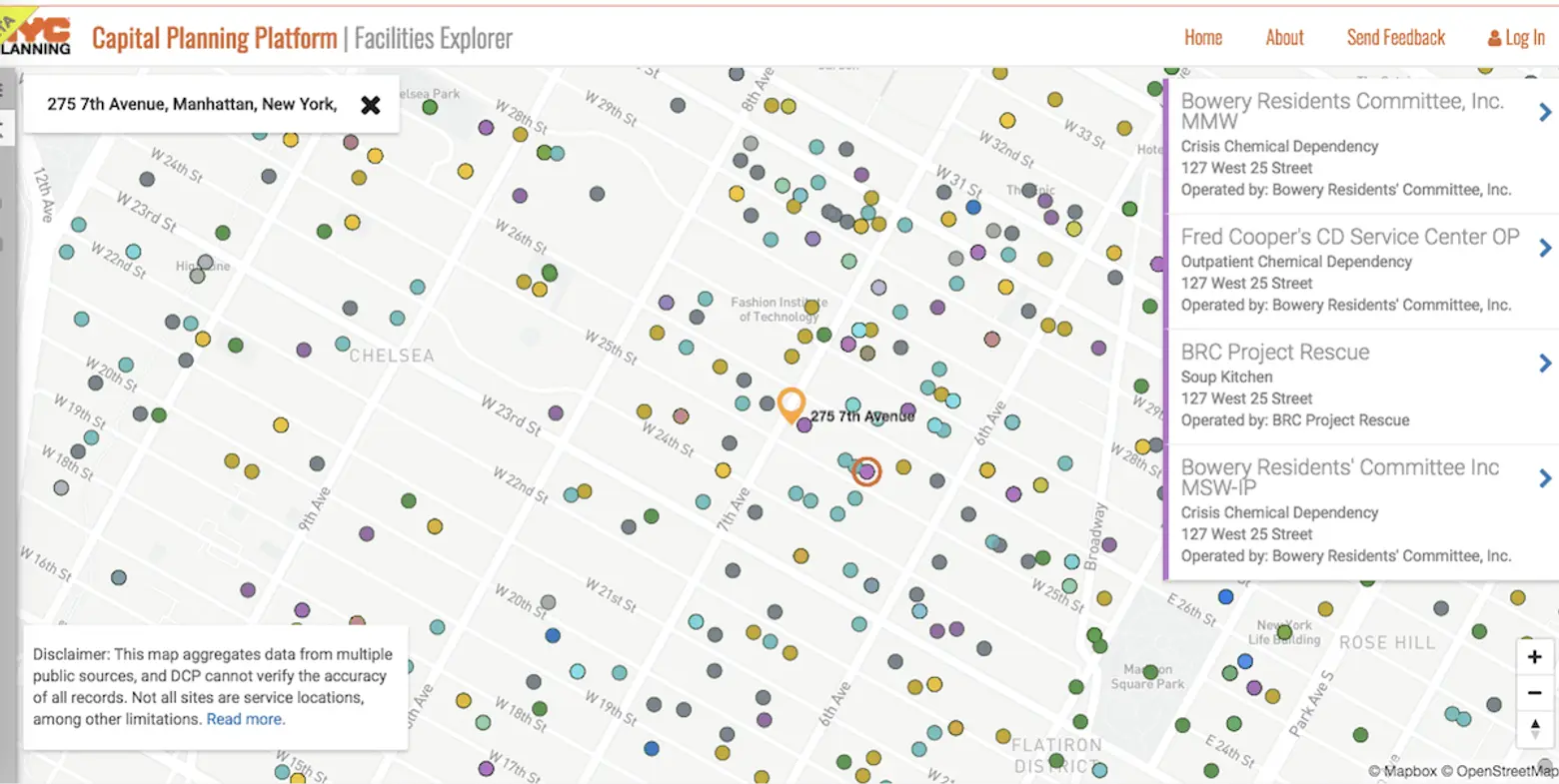
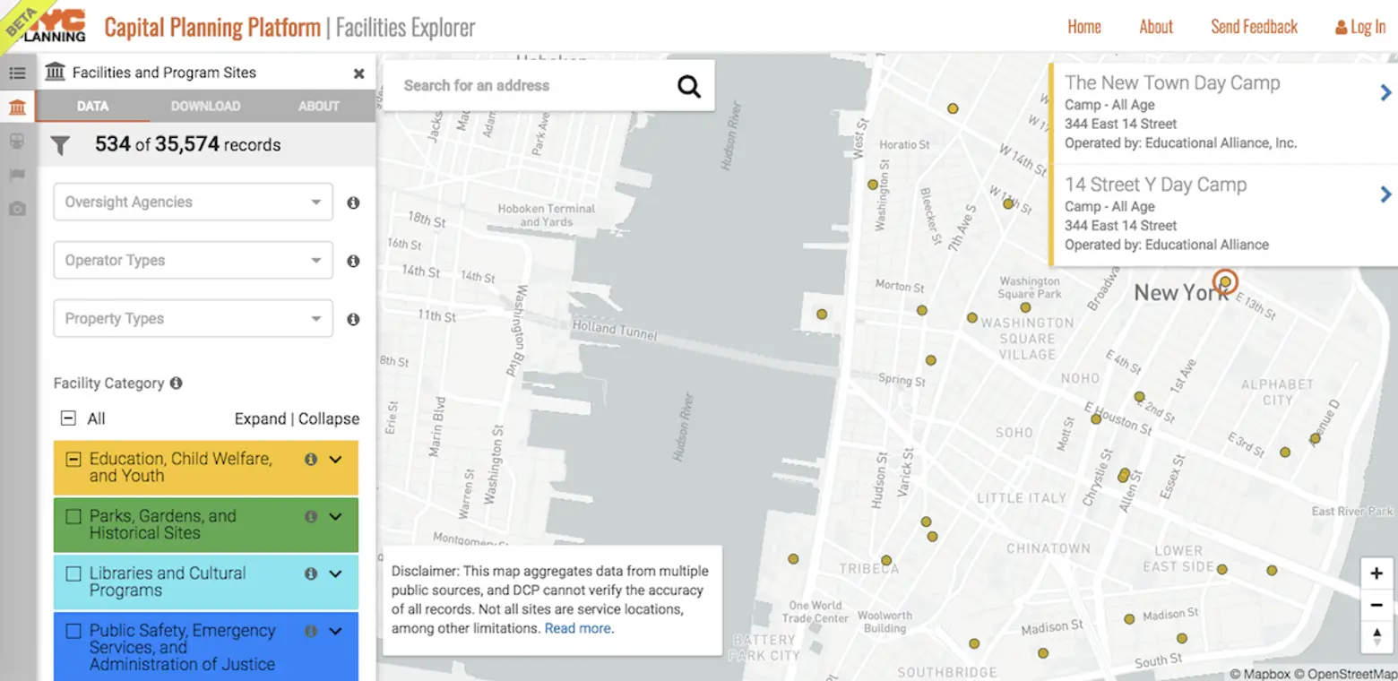
You can then select sub-categories to narrow your search even further (“Camps,” for example, might be a popular one once the snow melts). You can also search by neighborhood to see how your neighborhood fares for public facilities.

City Planning spokeswoman Rachaele Raynoff said, “The Facilities Explorer is an intuitive interactive map that harnesses open data in an easy-to-use tool, empowering planners, students, researchers, community advocates and all New Yorkers to understand the breadth of government facilities and services in our neighborhoods to promote well-informed, collaborative community-building. A key component of capital planning is knowing the resources that exist today.”
The information is also intended to help in the revamp of the city’s Fair Share system which allocates facilities like shelters and garbage transfer stations throughout the boroughs (though ironically the map, which is only as complete as the information provided to City Planning by various agencies, does not include homeless shelters at the present time).
[Via DNAinfo]
RELATED:
