Does the City’s Brooklyn-Queens Streetcar Plan Actually Make Sense?
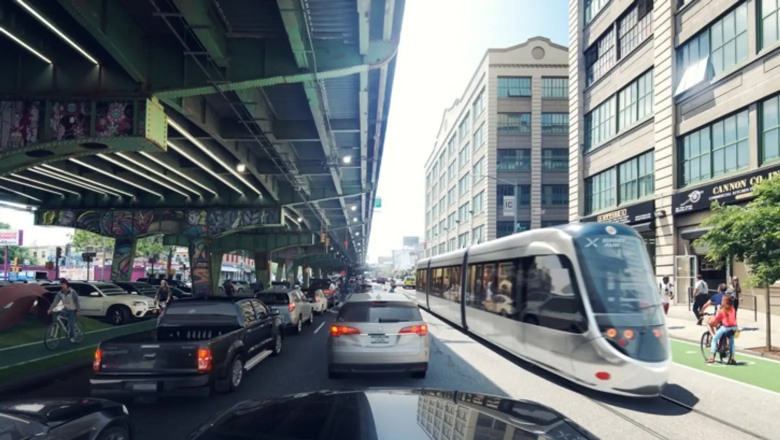
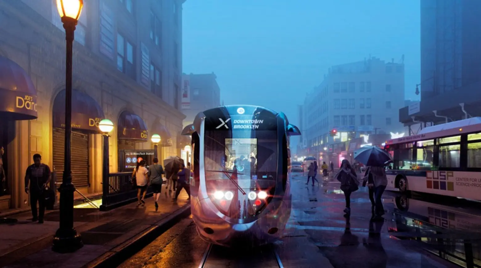
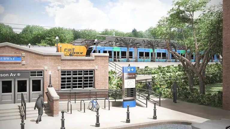
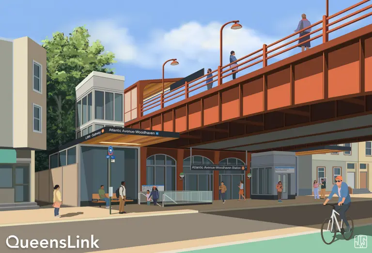
Like most grand, government-backed plans, yesterday’s announcement by Mayor de Blasio that he’d be supporting a proposed Brooklyn-Queens streetcar was met with flashy renderings and promises of how underserved areas and populations would finally get the access they deserve, as would booming commercial hubs like the Brooklyn Navy Yard and Sunset Park. But Streetsblog dug a little deeper and came up with several reasons why the $2.5 billion project doesn’t quite add up.
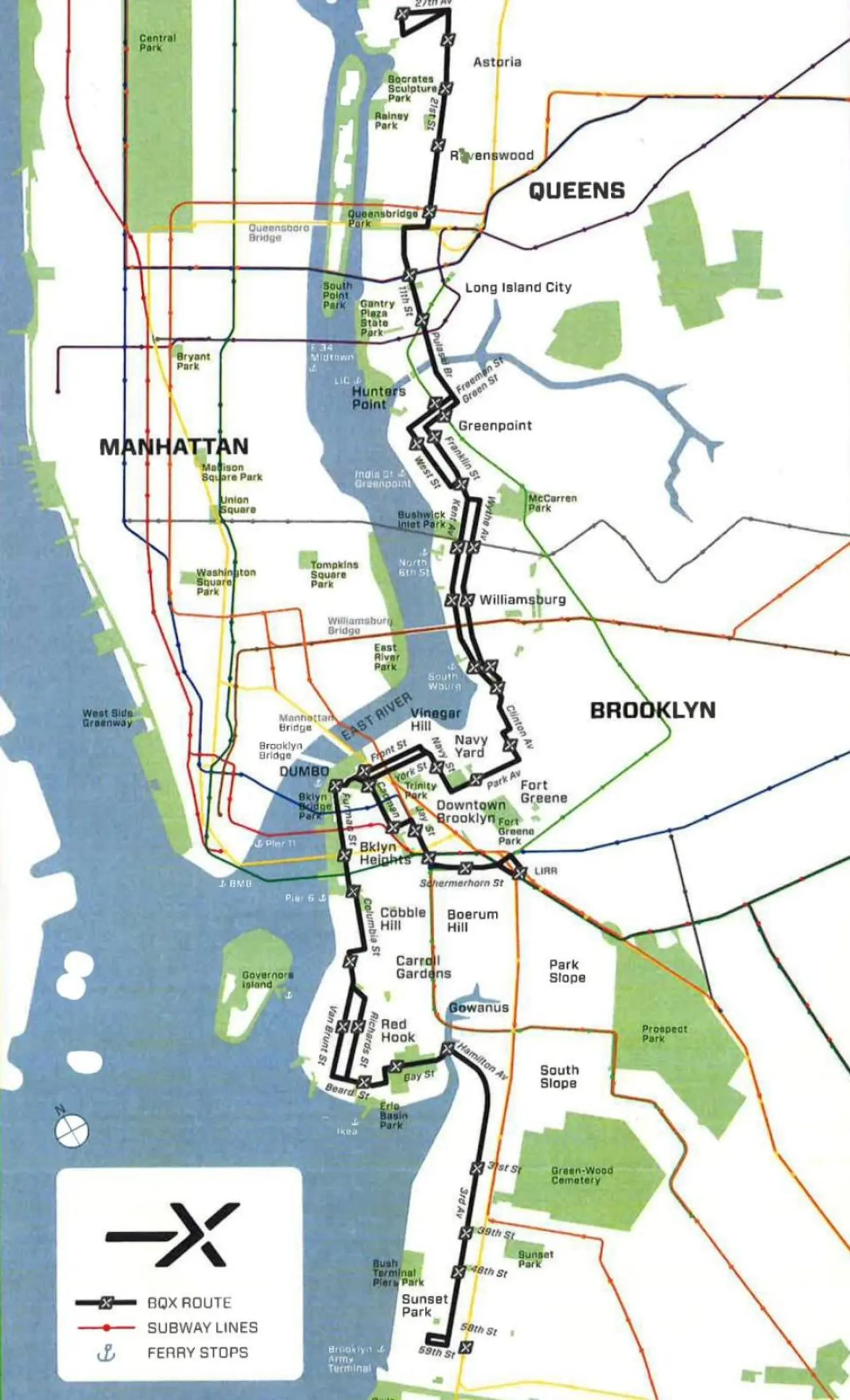
First, the route won’t connect with existing subway lines. As the map above illustrates, there are very few points where the streetcar would link up with subway stations, functioning merely as, according to Streetsblog, “an expensive way to connect waterfront neighborhoods and destinations to each other.” Additionally, “As for subway access, it won’t stop anywhere near the J/M/Z, and anyone transferring to the L would have to walk two or three long blocks.”
Map via NYC DOT
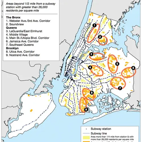
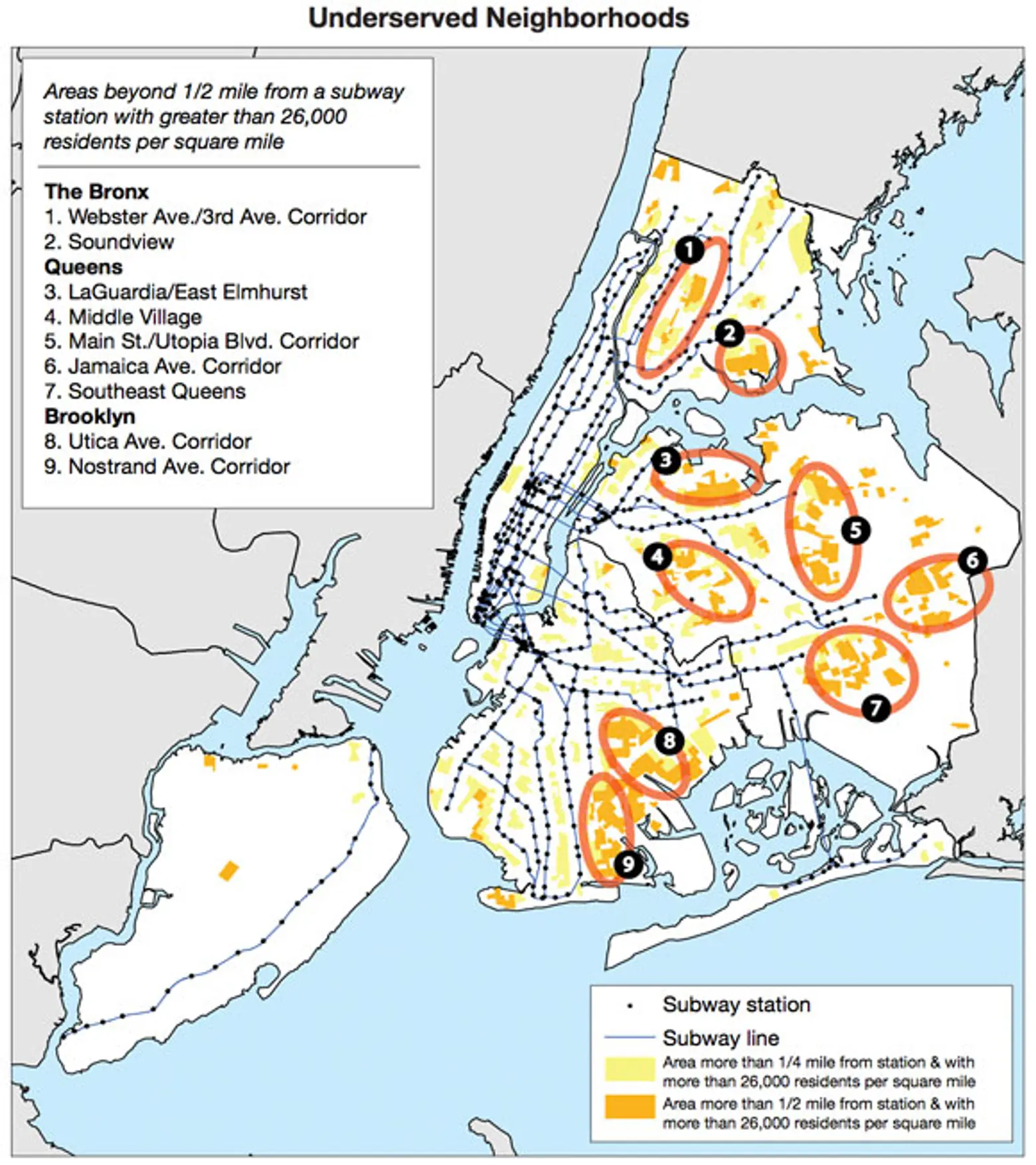
Related to this is the fact that the city claims one of its highest transportation priorities is providing access to underserved communities. The map above outlines areas where people are living at least 1/4 mile or 1/2 mile from a subway, and as you can see, almost none of those spots are along the East River waterfront.
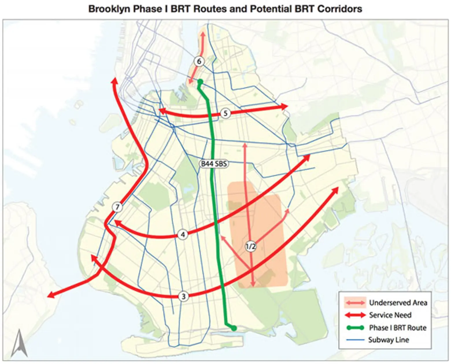
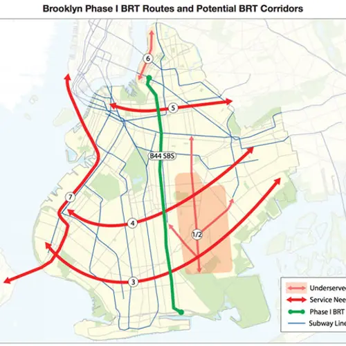
As an alternative, Streetsblog penned another article about implementing Bus Rapid Transit (BRT) service, which they believe would not only better connect these “subway deserts,” but would also be the best alternative for those affected by an L train shutdown, as the streetcars won’t provide any access into Manhattan. The BRT would also have perks like “a fully dedicated busway that can’t be impeded by deliveries or drivers turning right, stations level with the bus floor, and off-board fare collection.”
Then there’s the little issue of how the plan is getting funded. Though the city claims the money will come from tax revenue siphoned from a rise in property values, much of the waterfront is already under development, so the subsidy will likely take bites out of other city budget items. Lastly is the fact this is a city project, not one of the MTA, so how will the two coordinate? Will riders be able to swipe their MetroCards or will it be a completely separate fare like Citi Bike or the ferries.
[Via Streetsblog]
RELATED:
