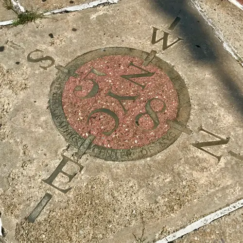
Is this marker in Woodside, Queens really the center of NYC?
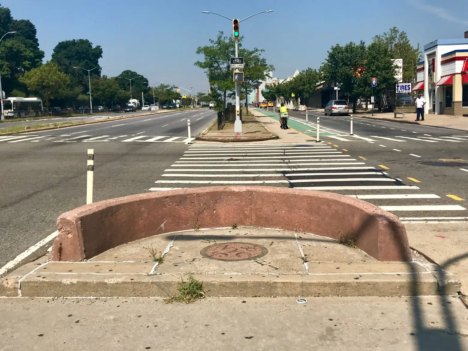
Photos via Nicole Mondrus for 6sqft
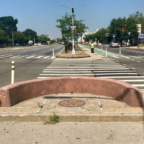
Located in the middle of a traffic median on Queens Boulevard and 58th Street in Woodside, a marker set in the pavement makes a bold claim: “The Geographic Center of NYC.” The math used to calculate geographical centers is fairly complicated and doesn’t quite account for other environmental factors. However, there seems to be a fair consensus as to the streetside marker in Woodside: It isn’t the geographical center at all.
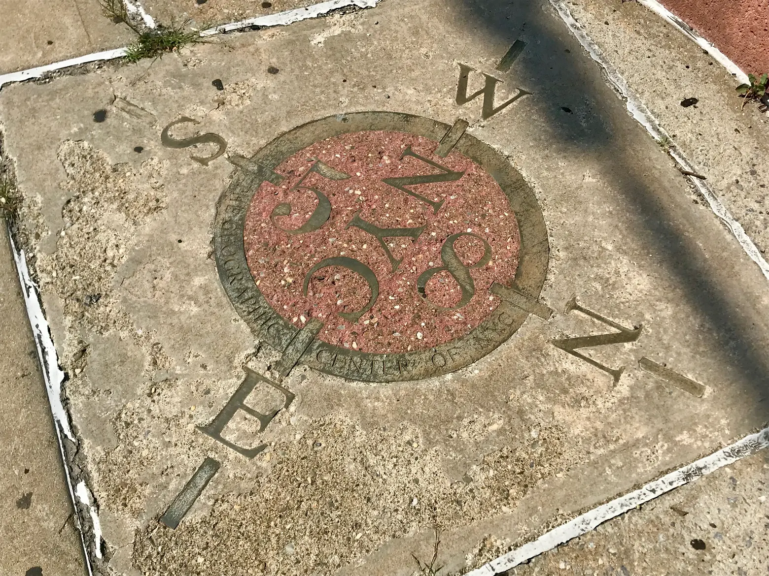
Finding the geographical center of a location is more difficult than one would expect. Maps don’t take into account changes in elevation or the curvature of the Earth, and changing tides can create small but noticeable differences in the shape of bodies of land. Not to mention, NYC is full of irregularly shaped islands. Do we count Governor’s Island as part of the calculations? What about the islands off Broad Channel?
Everyone has different answers to the question and different methods of calculating it. The Department of City Planning says the geographical center is in Bushwick, on Stockholm Street between Wyckoff Avenue and St. Nicholas Avenue. The Department of Transportation claims it’s a little farther south, on the intersection of Broadway and Dekalb Street. Google uses Columbus Circle to calculate long-distance travel from NYC, and this blog post puts the point somewhere off the shore near Red Hook. Almost all agree, however, that Woodside isn’t the geographical center of New York City.
So why is it there? No one really knows, and no one is entirely sure who put the street marker down. Walter McCaffrey, a former City Council member, reportedly said that Woodside was the center of New York City, but no one could confirm the marker was placed while he was in office. Regardless, the marker doesn’t show signs of moving anytime soon and will likely confuse pedestrians and mathematicians alike for years to come.
RELATED:
