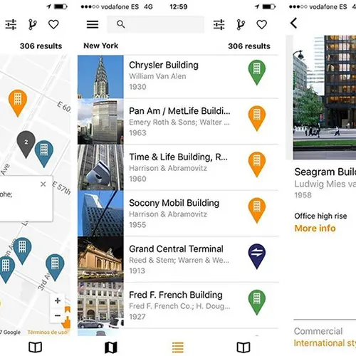
New ArchiMaps app lets you explore cities by their important buildings
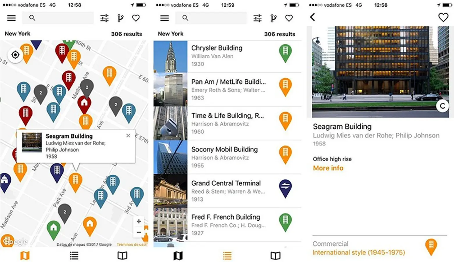
Because you can never have too many ways to explore a city, a new architecture-based travel guide map app helps make sure you don’t miss any important architecture (h/t Curbed). Made by architectural historians, ArchiMaps points out a selection of important works like buildings and bridges. It’s currently available for Android and iOS and in four cities–New York City, Chicago, London, and Madrid–so far with more in the works including Los Angeles, Berlin and Barcelona.
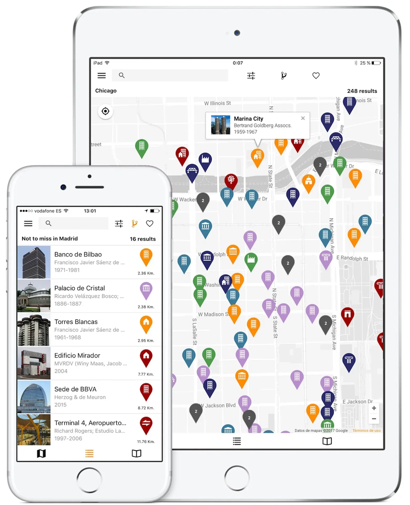
The ArchiMaps architecture guide was conceived to help you before, during and after your trip: check the ArchiMap to prepare a list of buildings you want to visit; explore the city you’re in with the map as a guide, using your location to get information about nearby buildings; get images and data of the architecture works you visited during your travels. Building selections are based on reliable, credited sources, and the app’s authors say it offers academic quality information.
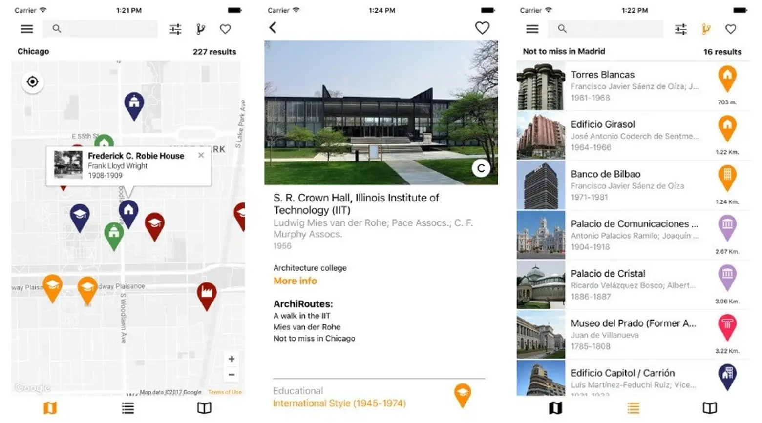
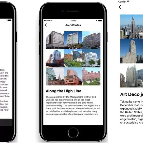
Inside each map, ArchiRoutes provide themed selections based on an architectural movement, a prominent author, or a particularly notable site that’s worth visiting; for example, you can explore “Art Deco jewels” in New York City, “Frank Lloyd Wright masterpieces” in Chicago, “21st-Century Collection Housing” in Madrid, and “British Brutalism” in London. The database is continuously growing, so newly-built additions and new ArchiRoutes will be regularly incorporated.
Conceived by Spanish architect Ángel Camacho, the project is the result of several years’ effort, including finding a developer and gathering content. Camacho says he begins map-building with a thorough search for the most significant buildings in each city, making every effort to represent a balance of architects, styles, and time periods, and making sure more obscure works are included.

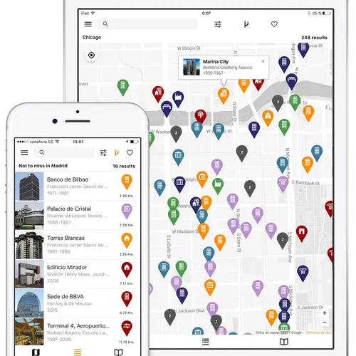
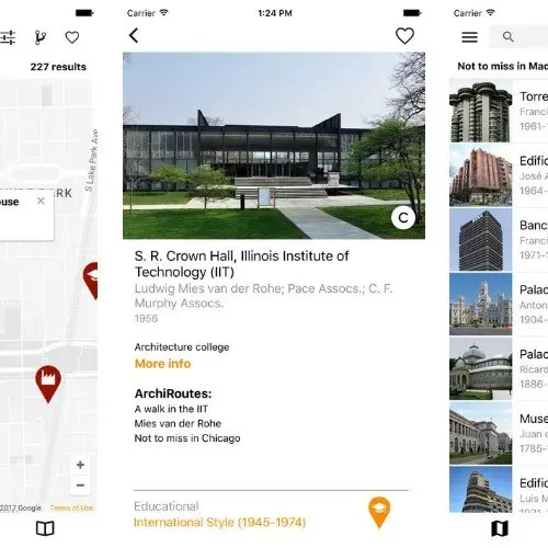
Open the app, pick a city, and get a zoom-able map with more than 200 structures waiting to be explored. Items are color-coded by time period and labeled according to building type. You can select a specific point and see a photo of the work. You can send in your own photo if there isn’t one available yet. You’ll also get basic information about who designed the building, when it was built, architectural style and a link to its Wikipedia page. You can sort the data by buildings in each city for a list, or filter by building type, name and date.
[Via Curbed]
RELATED:
- Website “WhatWasThere” Lets Users Tour Their Neighborhoods Through Historic Photos
- NYC Time Machine Lets Users Navigate Overlaid Maps from 1600 to Present Day
- Find Out What Businesses Were on Your Block Way Back in 1855 With This Interactive Map
- New York Public Library Releases Interactive Map of Its 80,000 Historic Photos
Images courtesy of ArchiMaps.
