New RPA report is ‘a wake up call’ on rising sea levels and growing flood risk
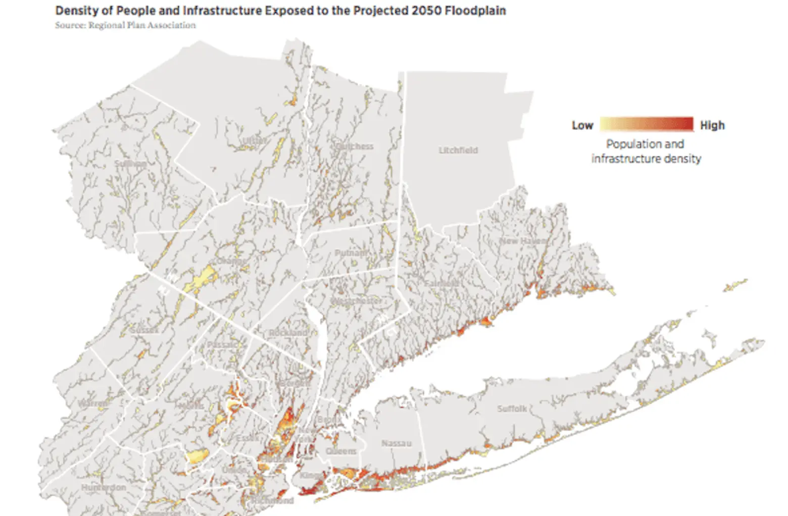
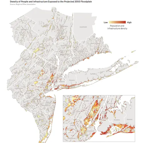
Density of population and infrastructure in the projected 2050 floodplain. Image: RPA.
Hurricane season is impossible to ignore, and as the October 29th anniversary date of Superstorm Sandy approaches, the Regional Plan Association (RPA) has released a report titled “Coastal Adaptation: A Framework for Governance and Funding to Address Climate Change” that warns of the imminent threat of rising sea levels and outlines a strategy to protect the many vulnerable stretches of New York, New Jersey and Connecticut. According to the report, 59 percent of the region’s energy capacity, four major airports, 21 percent of public housing units, and 12 percent of hospital beds will be in areas at risk of flooding over the next 30 years. RPA research found that even in light of these projections, the region’s climate change planning tends to be reactive and local rather than pro-active and regional–and it’s not nearly enough.
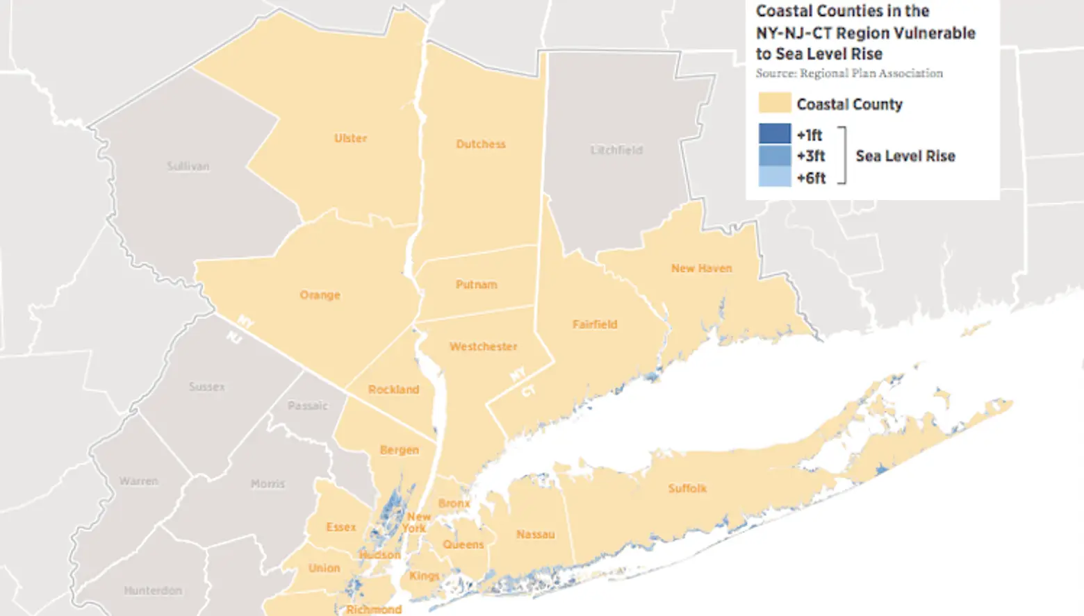
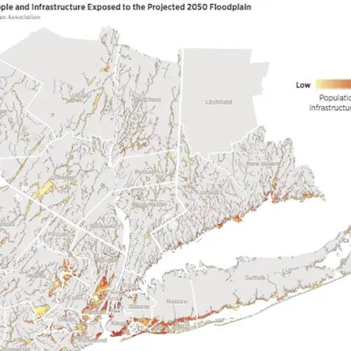
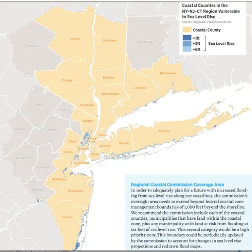
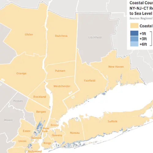
Coastal counties vulnerable to sea level rise. Image: RPA.
The study upon which the report was based, “Under Water: How Sea Level Rise Threatens the Tri-State Region,” explains the severe threats to the region’s varied communities by as little as one foot of sea level rise–which could happen as soon as the 2030s. Sea levels are projected to rise by two feet–putting 10,000 homes permanently under water–with up to six feet of possible sea level rise in the next century. But according to the study, federal, state and local recovery policy has addressed primarily the effects of storm surge, falling short of dealing with the long-term threat of permanent flooding.
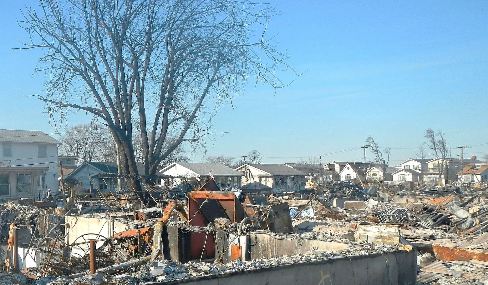
Hurricane Sandy damage in Breezy Point, Queens.
In the same 30-year period, the number of people living in areas at high risk of flooding in extreme storm conditions is expected to double from 1 million to 2 million. With over 3,700 miles of densely-populated tidal coastline, the region’s states and local communities face the challenge of finding the resources and making the changes necessary to adapt, such as restoring wetlands, building sea walls, raising buildings, retrofitting infrastructure and buying out vulnerable homeowners. While superstorm Sandy provided an infusion of funding, there are still $28 billion worth of identified needs that have not been funded.
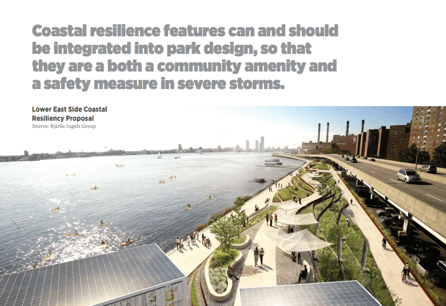
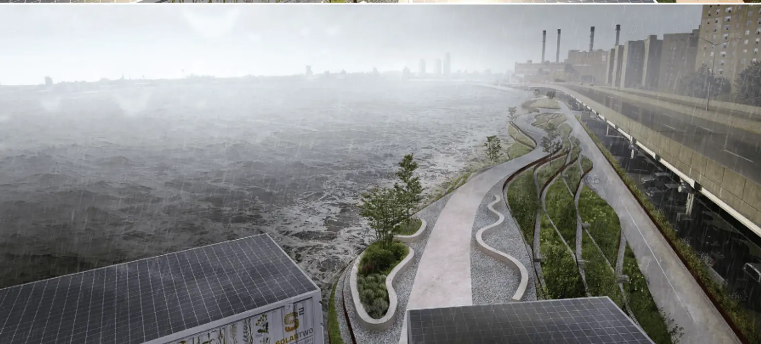
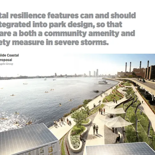
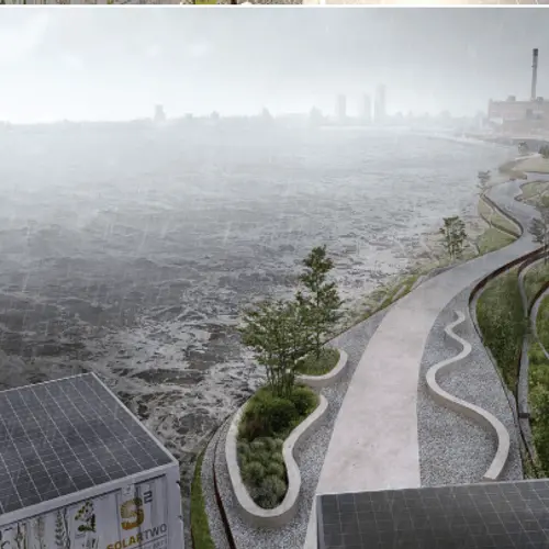
Image source: Bjarke Ingels Group via RPA.
In addition to outlining the expected environmental challenges, the report suggests a blueprint for a regional governance structure and a funding mechanism to manage those challenges in a comprehensive manner. Recommendations start with the formation of a Regional Coastal Commission (RCC) similar to ones already in existence in the Chesapeake Bay and San Francisco Bay areas. The RCC would prioritize projects that would be funded by new state adaptation trust funds that would in turn be funded from surcharges on property and region-wide casualty premiums. The commission would create and update a regional coastal adaptation plan to coordinate policies across municipal and state boundaries and set a long- and short-term regional plan.
The Coastal Commission for the tri-state region would be responsible for:
- Producing and updating a regional coastal adaptation plan that aligns policies across municipal and state boundaries and sets a vision for short-term resilience and long-term adaptation.
- Developing and managing science-informed standards to guide and prioritize adaptation projects and development in the region’s at-risk geographies.
- Coordinating and encouraging collaborative adaptation projects across municipal and state boundaries.
- Evaluating and awarding funding from new adaptation trust funds that align with standards established by the commission.
Tom Wright, Regional Plan Association president said, “In the wake of disasters like Hurricane Sandy, creating more resilient communities and planning for climate change has become synonymous with protecting our communities from severe storms. While many policies in place today will help us weather those storms, most won’t eliminate the threat of sea level rise or help our communities adapt to permanent flooding in the long run. We hope this report is a wake-up call about the severe threat sea level rise poses to our region’s neighborhoods, our economic centers and our infrastructure.”
The report, read it in full here (PDF), is part of the RPA’s Fourth Regional Plan for the New York, New Jersey and Connecticut metropolitan area that will be released in full on November 30th, 2017.
RELATED:
- Waterfront Alliance’s ‘Harbor Scorecard’ says if your NYC neighborhood is at risk for severe flooding
- In 2080 NYC Will Be Hotter, Rainier, and 39 Inches Underwater
- New research says Sandy-like storms could occur in NYC every 20 years by the year 2100
- Spotlight: Climate Scientist Radley Horton Discusses Extreme Weather in NYC
