The Subway That Could Have Been: Mapping Never-Built Train Lines and Abandoned Stations
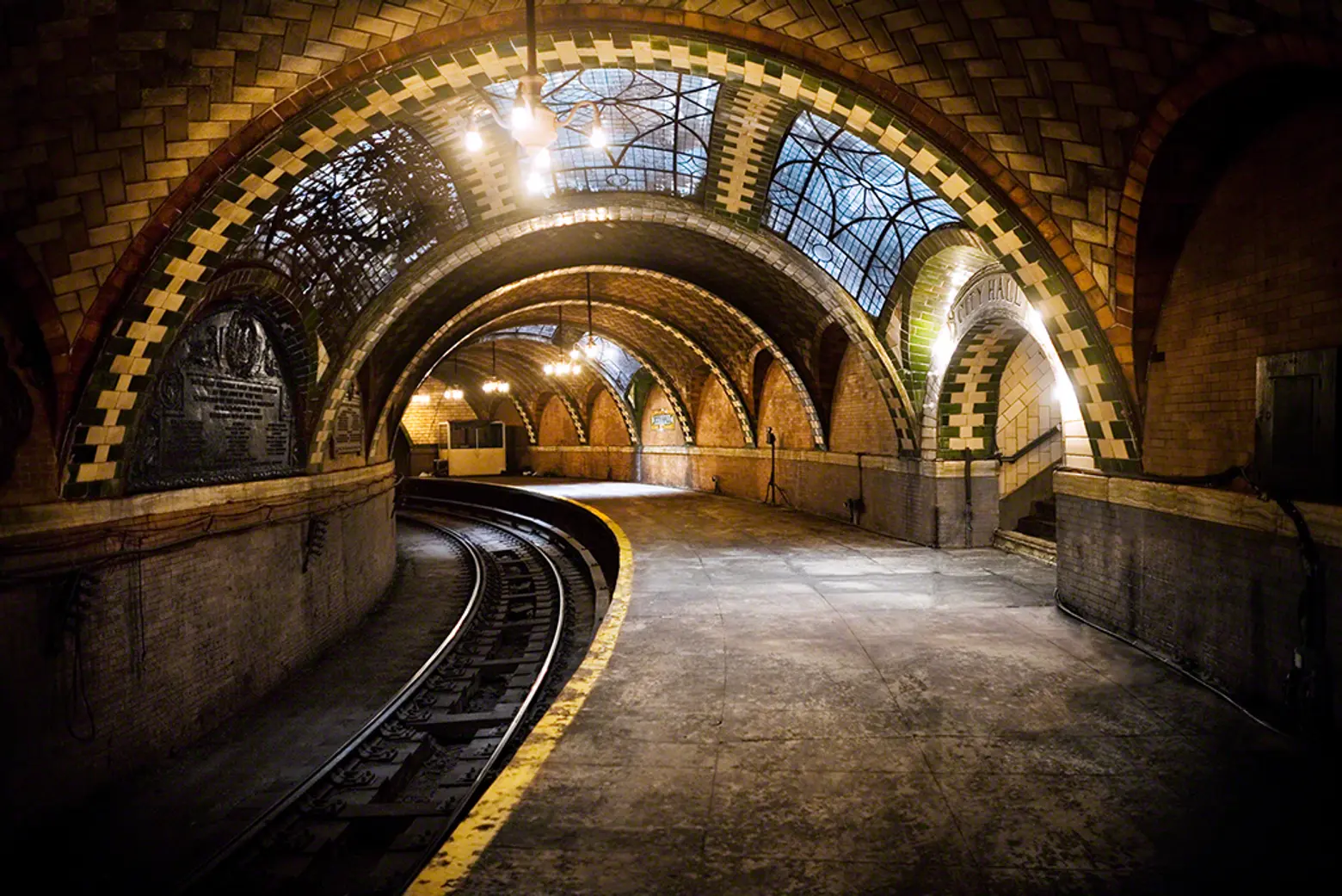
City Hall subway station via John-Paul Palescandolo
We all know now that NYC has the worst commutes in the nation and that our subway system just keeps getting more unbearable. So it makes perfect sense that proposals for new train lines and alternate modes of transit like gondolas, ferry systems, and streetcars keep popping up.
But this isn’t a new phenomena; there have been many proposed subway lines that were never built, as well as stations that were taken out of service. A fun interactive map from WNYC called Lost Subways shows both of these, illustrating the subway that could have been.
WNYC’s map shows 11 train lines that were never built and seven stations that have been decommissioned. Of the latter, you’re probably most familiar with the Guastavino-tiled City Hall station, which is open for tours through the New York Transit Museum. The others mainly sit vacant. The never-built train lines are quite interesting, as they include a Manhattan-Queens connection at 76th Street, a D train to the East Bronx, and an underwater Brooklyn-Staten Island link, among others. To learn more about the points on the map, simply roll your cursor over the lines and dots.
RELATED:
- Animated GIF Shows How NYC’s Subway Has Evolved over the Last 100 Years
- Proposed ‘Triboro Rx’ Subway Line Would Better Connect the Outer Boroughs
- Map Enthusiast Creates a More Geographically Correct Version of Vignelli’s Old Subway Map
[Via Untapped]
Get Inspired by NYC.
Leave a reply
Your email address will not be published.







I can think, right off the top of my head, of two glaring omissions. First, the M/J line which ran along Myrtle Avenue in Brooklyn from the Masstransitscope through Broadway Junction up to Metropolitain Ave in Queens. Second, the spur that ran from 9th Avenue in Brooklyn connecting the West End (D) line to the Culver Local (F).