This Illustrated 1926 Map of Manhattan Shows the City as It Was, Both Fanciful and Familiar
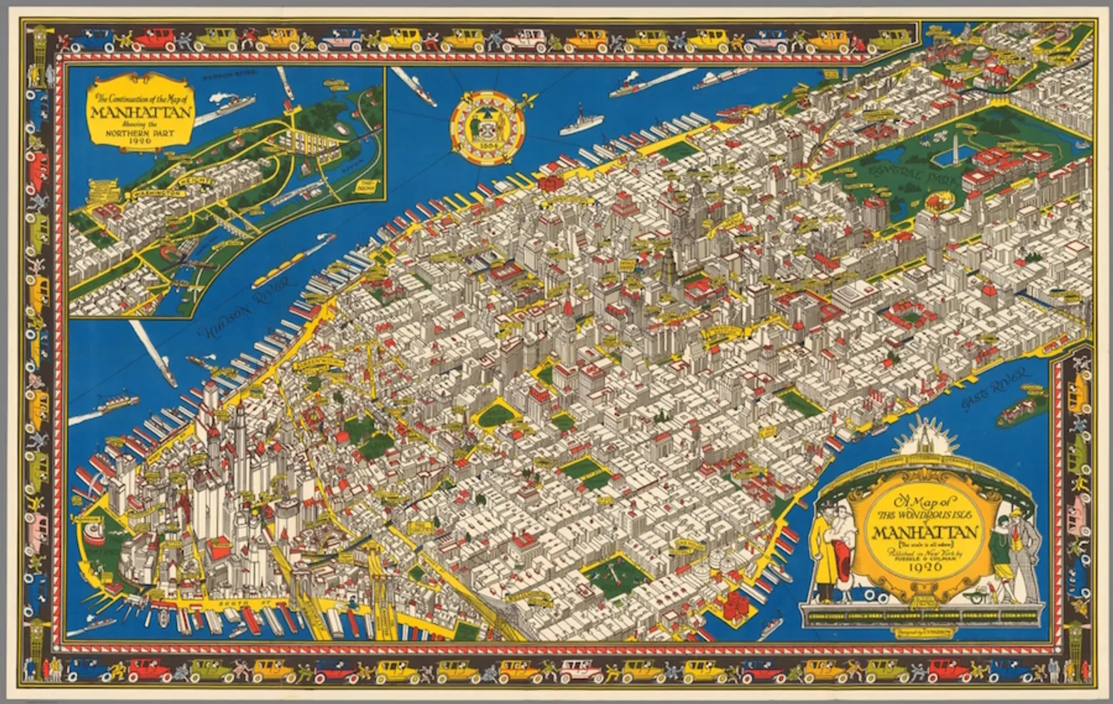
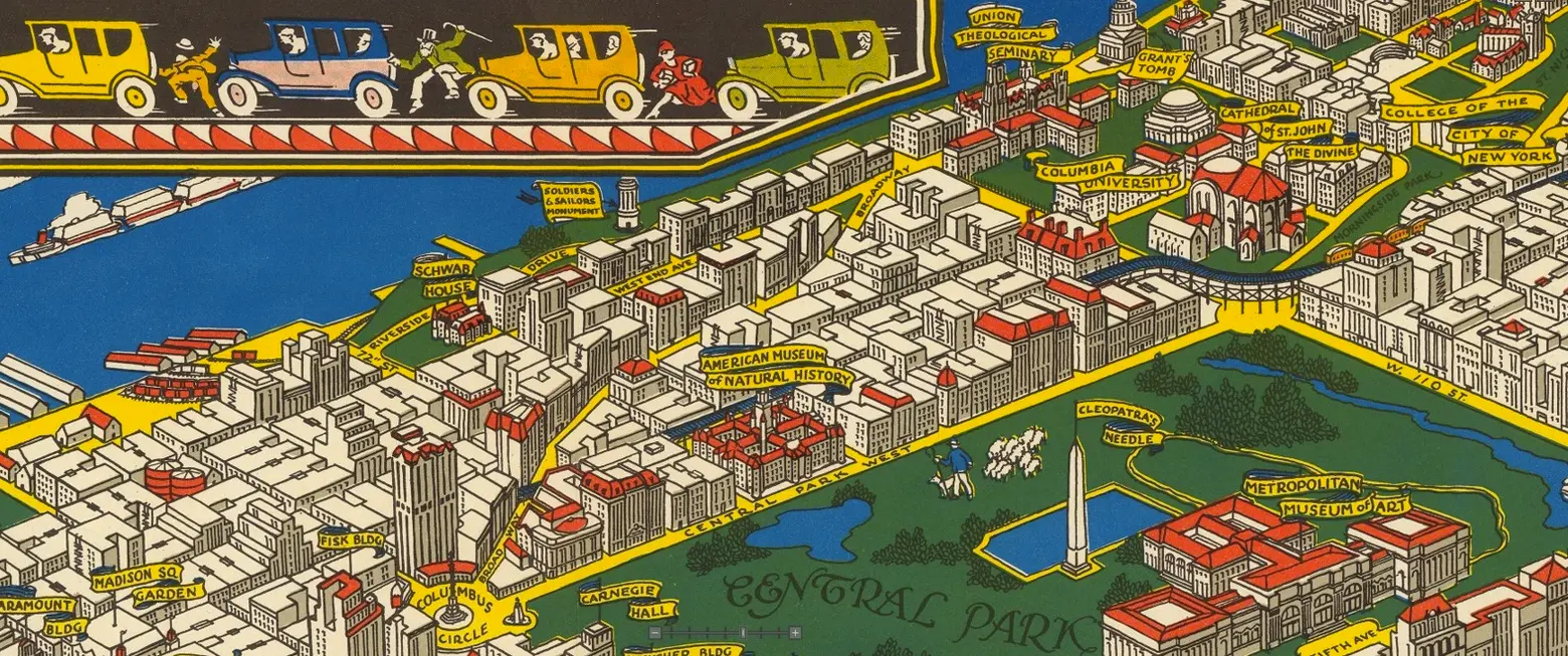
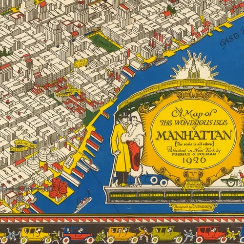
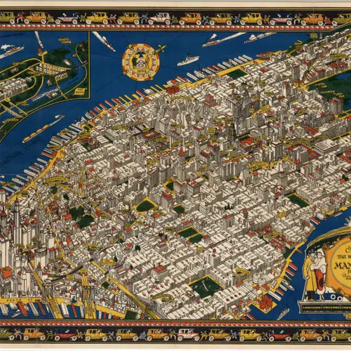
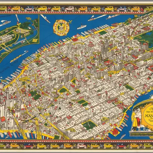
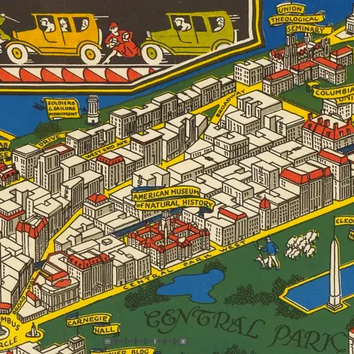
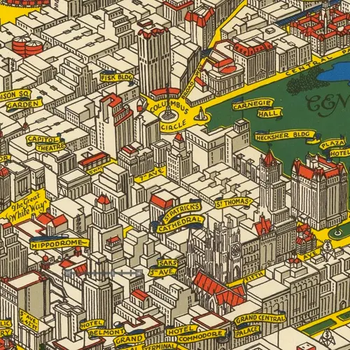
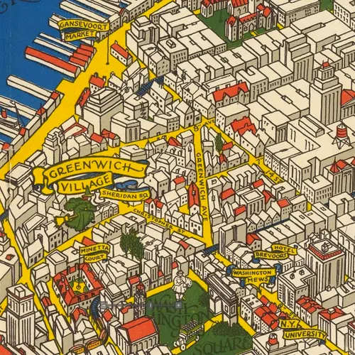
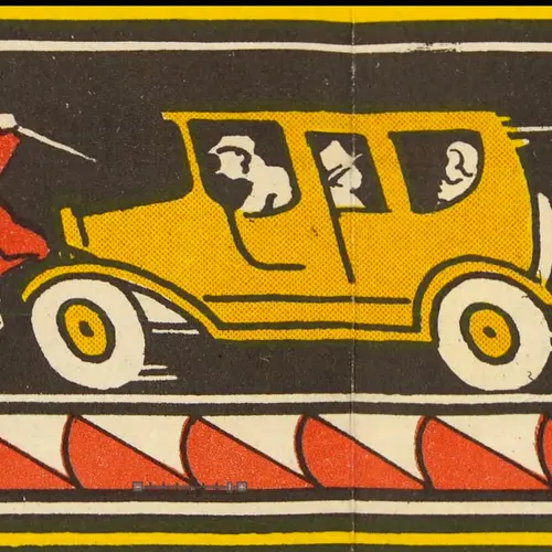
This fascinating vintage map of “The Wondrous Isle of Manhattan” is an illustrated version of the island as it existed in 1926, when it was designed and illustrated by Charles Vernon (C.V.) Farrow (1896-1936) and published by Fuessle and Colman. The map, though not to scale, highlights scores of actual attractions like landmarks and parks. Familiar buildings and streets are labeled, as is the city’s transit system at the time, with elevated tracks running along the avenues.
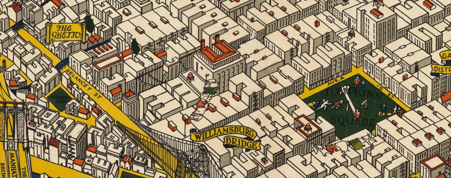
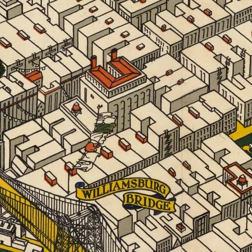
The map labels “The Ghetto” as a swath of downtown north of Delancey Street, which, in a time before today’s connotations–the result of urban demographic shifts in the 1960s and ‘70s–refers to that area’s large Jewish immigrant population and possibly part of what was known as Little Germany (h/t Ephemeral New York). Though not an especially flattering term even then, it was used more openly and descriptively (note flying laundry in the neighborhood and hanging street decorations that still exist in places in Little Italy and the Lower East Side.).
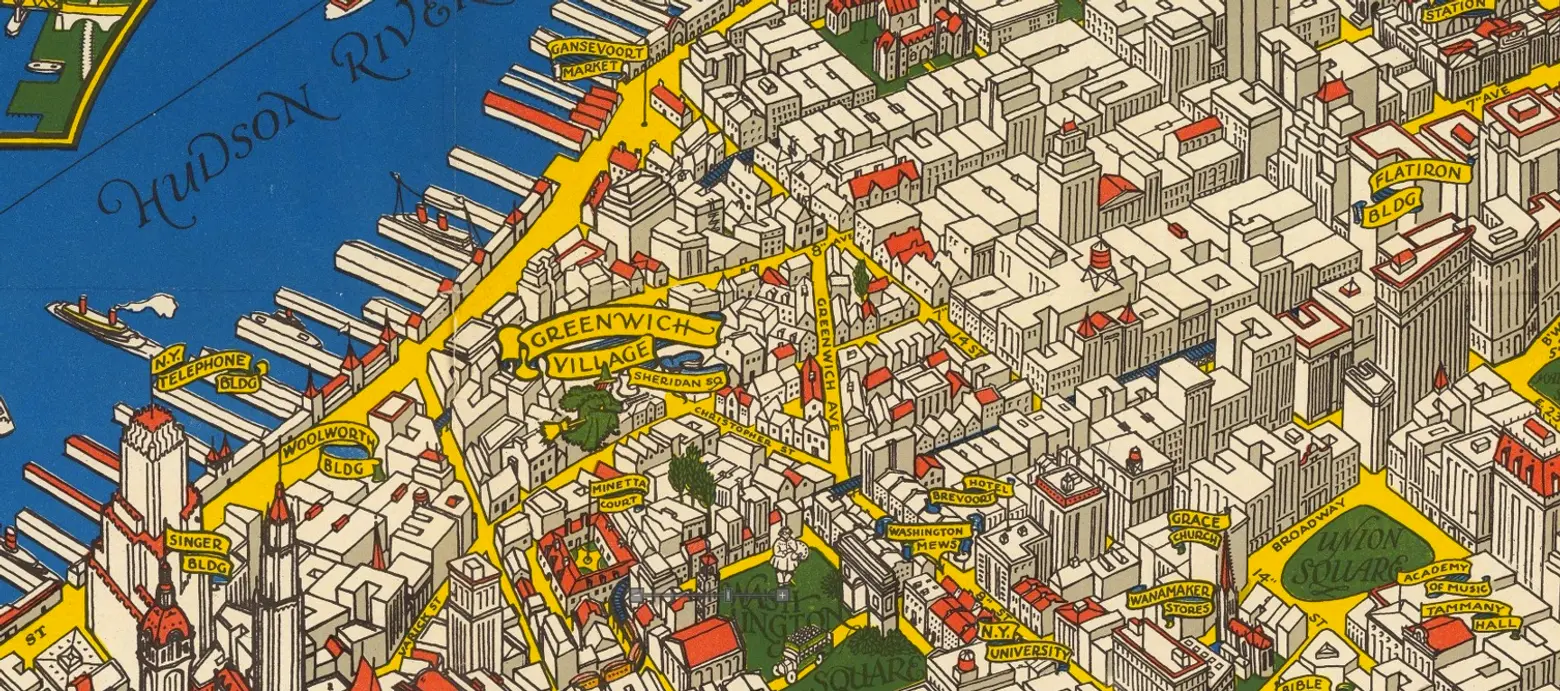
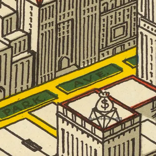
Also of note: The “green witch” flying over Greenwich Village; water tower toppers depicted as top hats; and bags of money on the Upper East Side.
Map courtesy of David Rumsey. Use the slider to navigate and enlarge to show detail.
The map is part of the Geographical Society Library Digital Map Collection. You can buy prints from the David Rumsey Map Collection.
[Via David Rumsey via Reddit]
RELATED:
- Amazing Detailed Map from the 1950s Shows 300+ ‘Wonders of New York’
- 1970s Map Reveals Worldview According to New Yorkers
- Whimsical Map Colorfully Details 400+ New York Icons
Explore NYC Virtually
Leave a reply
Your email address will not be published.
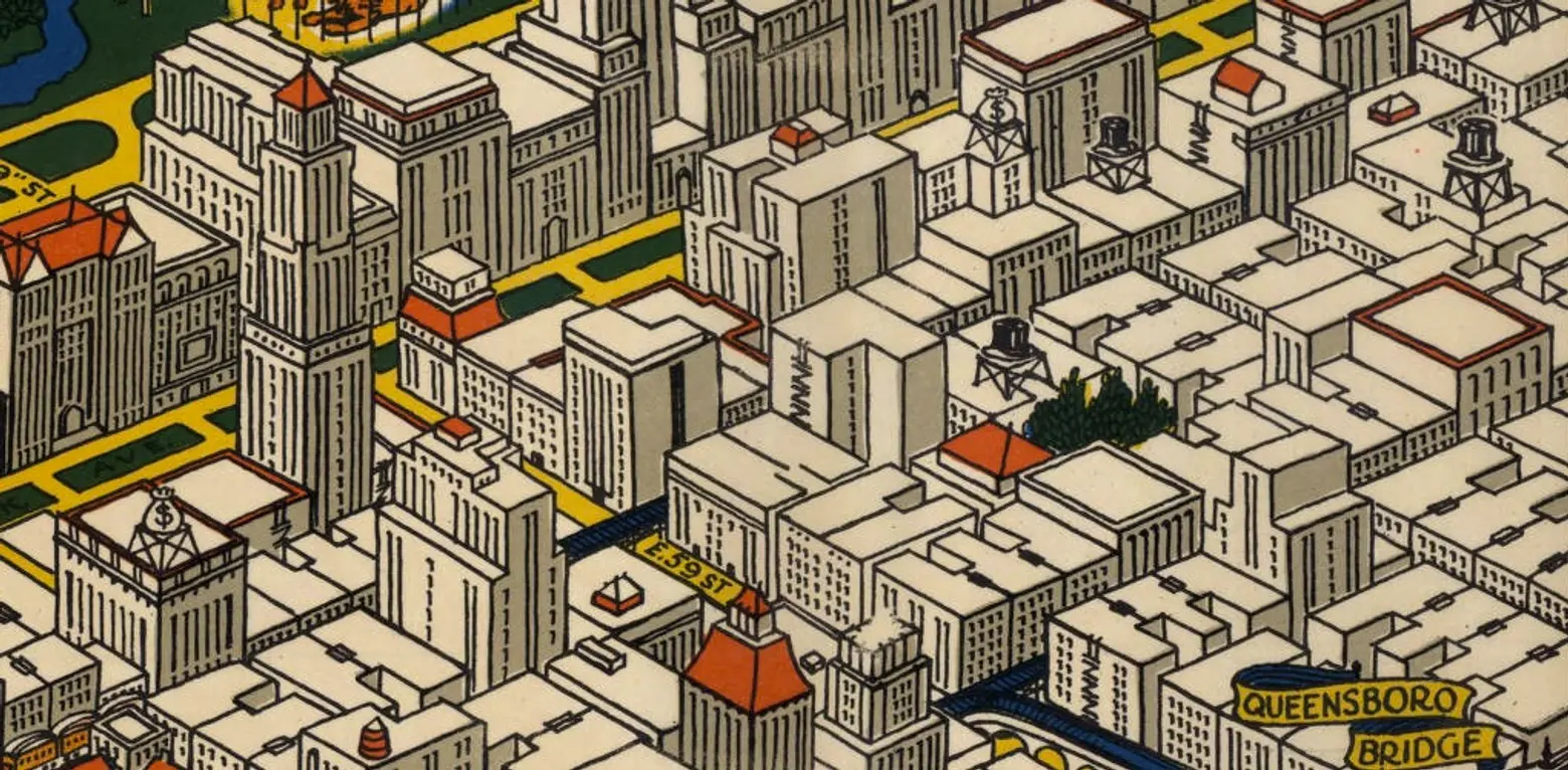







I like the top hat and money bag water towers atop the buildings