WSP Eco Map Tracks the Hidden Minetta Creek and Trees of Washington Square Park
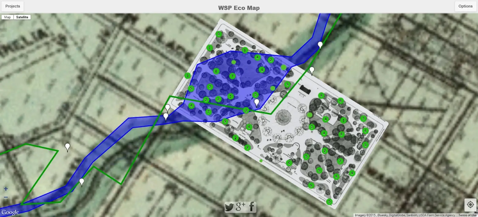
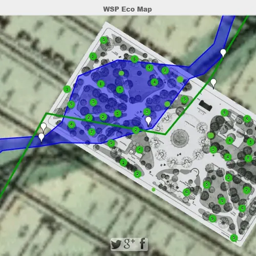
It’s easy to get distracted in Washington Square Park by all the NYU students and street performers, but there’s a lot more than meets the eye in this historic public space. For instance, did you know the Minetta Creek runs under the park and through the surrounding neighborhood? Or what about all those beautiful trees, wouldn’t it be fun to know a little more about them? With a new mobile map called the WSP Eco Map, you can identify the species of many trees in the park, locate other environmental park components like nesting boxes, and see exactly where the Minetta Brook/Creek is hiding.
The map, which was made possible through a crowdfunding effort, was created by local resident Georgia Silvera Seamans in conjunction with WSP Eco Projects, “an environmental organization that celebrates the wild things of the park.” To plot the tree data, they used both historic and contemporary tree surveys of the park from the Department of Parks and Recreation and referred to archival maps from the Olmsted Center in Flushing. Steve Duncan, an urban historian & photographer who leads tours of the Minetta Brook’s path, provided the information for that component of the map.
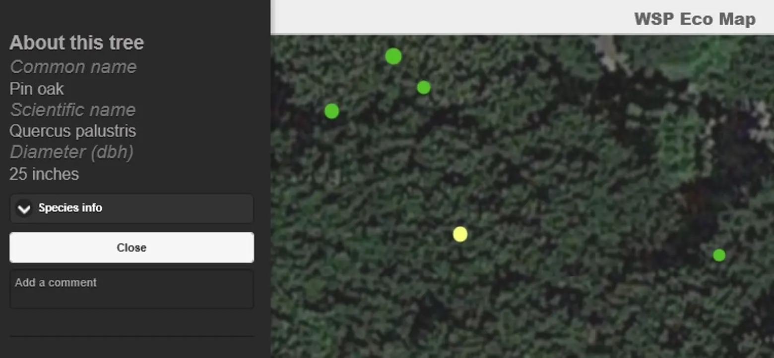
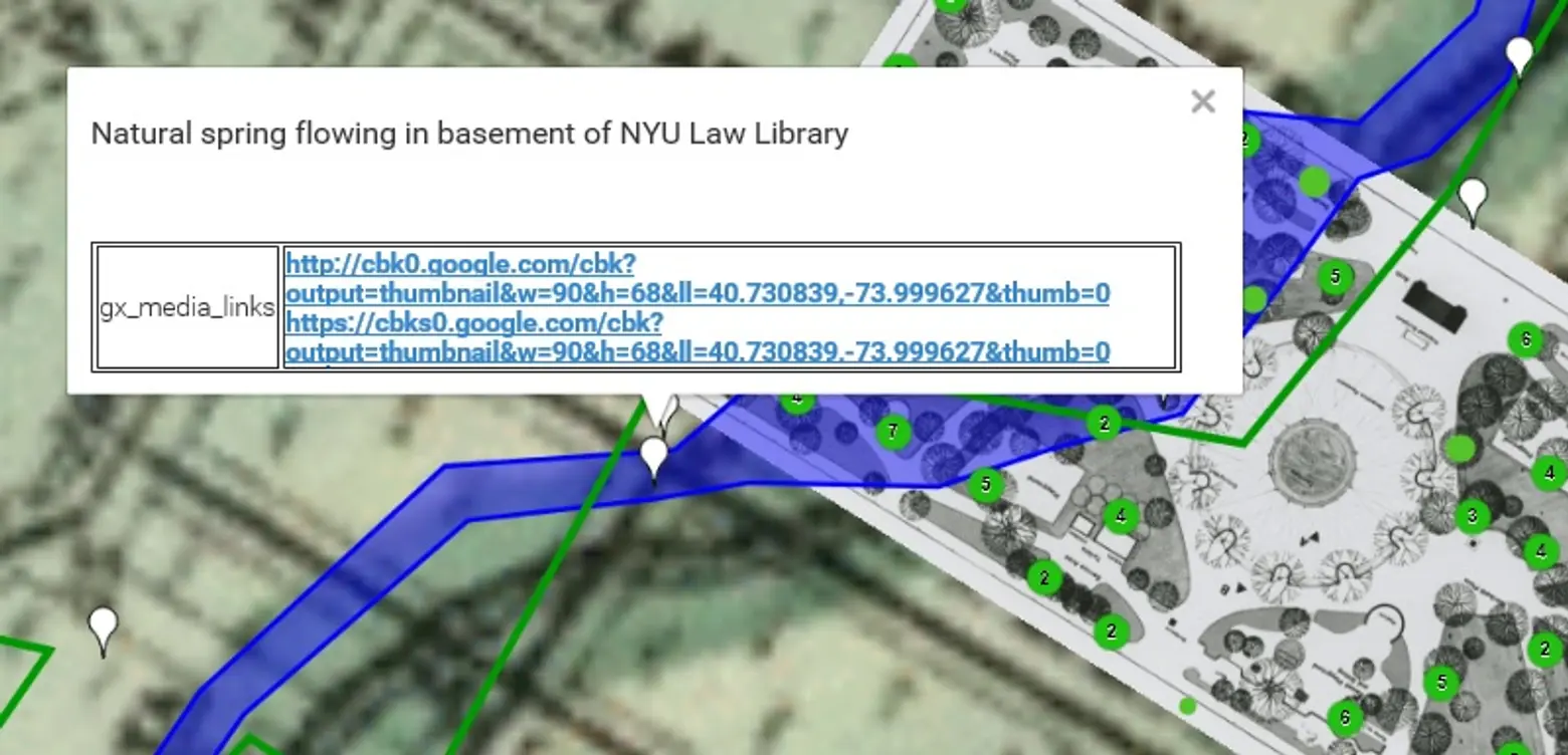
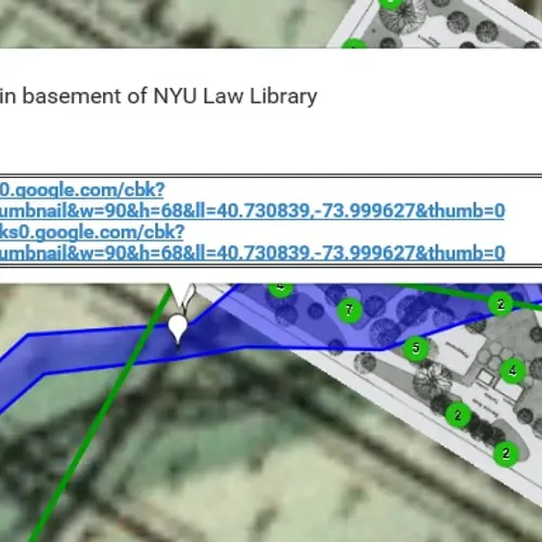
In addition to learning a tree’s species, when users click on the green dots they’ll also learn its diameter and any available historic information. The current route of the Minetta Brook is filled in blue, and an 1874 Brook Map can be featured as the background (as in the main image here). Along the brook are plotted points that provide details of the given location, as well as links to pertinent photos. All of these features are mapped as layers, so they can be turned on and off depending on how one is using the map.
You can explore the full map here.
All map images via WSP Eco Map
RELATED:
